


Source:
Wikipedia
Mont-Saint-Michel Bay (Baie du Mont-Saint-Michel)
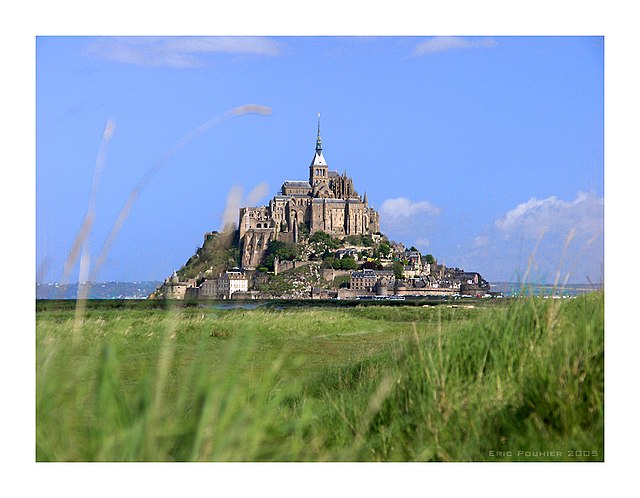
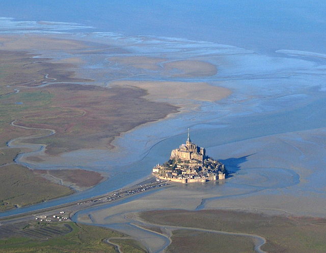
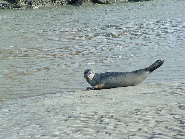
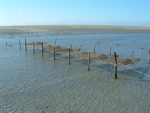
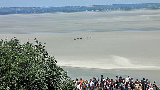
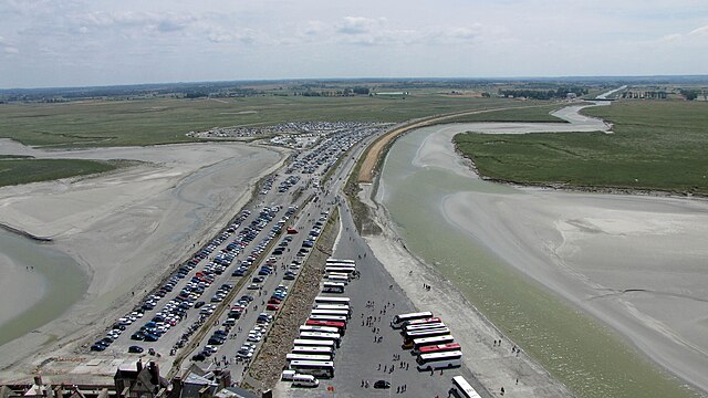
The Mont-Saint-Michel Bay (French: baie du Mont-Saint-Michel, Breton: Bae Menez-Mikael) is located between Brittany (to the south west) and the Normandy peninsula of Cotentin (to the south and east). The bay is part of the club of the world's most beautiful bays (fr) and is listed as a UNESCO world heritage site. Due to the significant tidal movements in this region (over 10 meters) a large part of the bay is uncovered at low tide. There are two granitic islands in the bay: Tombelaine and the Mont-Saint-Michel. Many birds and harbor seal live in this area.
- 1 General considerations
-
2
Geography
- 2.1 Rivers
- 2.2 Biggest tides in Europe
-
3
Levee and polders
- 3.1 The levee
- 4 References
Links
Images Gallery
-

-

-
 Satellite photo of the Mont-Saint-Michel bay
-
 Mont-Saint-Michel train at the bottom of the Mont.
-

-

-

-

-

-

-

-

-

-

-

-

-

-

-

-

-

-
-
-

-


Comments
Share your experience with others and write the first comment about the location
Source:
Wikipedia
Mont-Saint-Michel Bay
➴ Coordinates:
48° 39‘ N, 1° 39‘ W
Tags
Weather
2. Januar 2026
N/A °
N/A
N/A
N/A
Wind
N/A k/h
Humidity
N/A
Visibility
N/A km