


 on San Andrés.")


San Andrés (island) (Isla de San Andrés (Colombia))
San Andrés (Islander Creole English: San Andrés) is a coral island in the Caribbean Sea. Politically part of Colombia, and historically tied to the United Kingdom, San Andrés and the nearby islands of Providencia and Santa Catalina form the department of San Andrés, Providencia and Santa Catalina. San Andrés, in the southern group of islands, is the largest of the department. The official languages of the department are Spanish, English, and San Andrés–Providencia Creole.
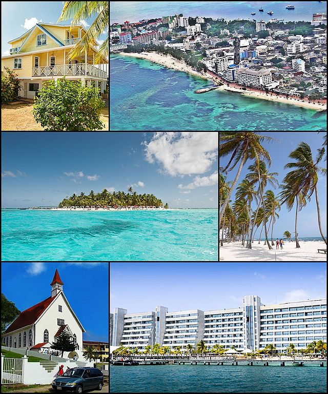
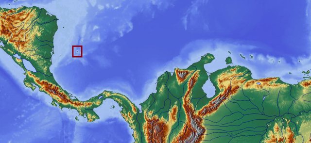
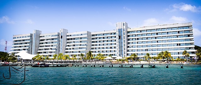
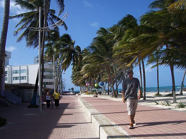
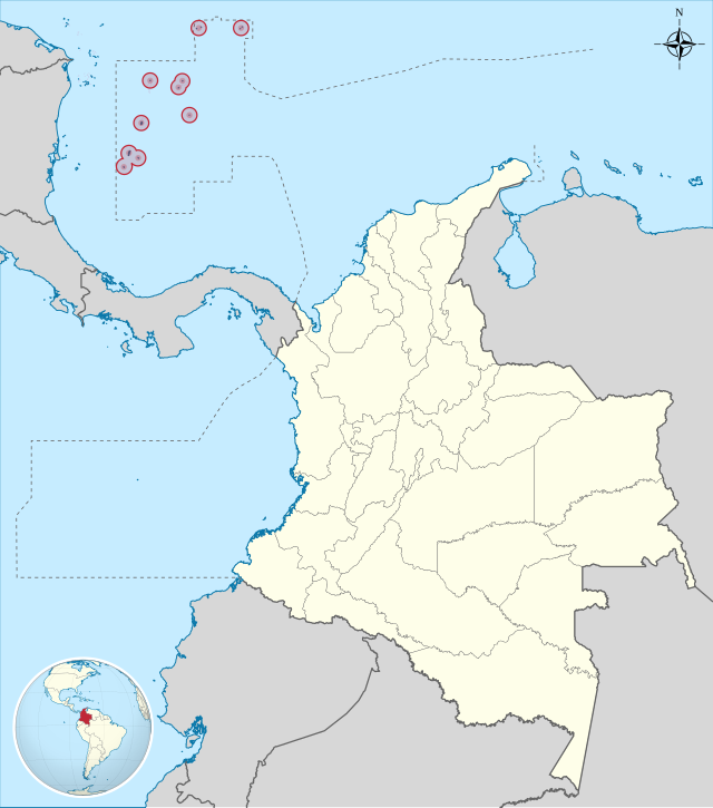
While San Andrés is located 50 km (31 mi) south of Providence, the Colombian archipelago is approximately 750 km (470 mi) north of the Colombian mainland. This archipelago encompasses a total area of 57 km2 (22 sq mi), including the outer cays, reefs, atolls and sand banks, with the area of the islands being 45 km2 (17 sq mi). In 2000, it was declared a UNESCO Biosphere Reserve, named "Seaflower Biosphere Reserve", which not only includes the islands but also about 10% of the Caribbean Sea, amounting to a vast marine area of 300,000 km2 (120,000 sq mi). The purpose of this declaration is to ensure that the ecosystem, which is rich in biodiversity, is well preserved and conserved.The department's capital is located on the northern end of the island. Named San Andrés but nicknamed El Centro, it is the department's main urban center. Along the 30 km (19 mi) road that circles the island there are many picturesque beaches, coral reefs, cays, blowholes, and coves. Also of note are La Loma, the town of San Andrés, the Baptist Church, Seaquarium, the large pond of La Laguna, and a freshwater lake amidst mangrove forest. There are coconut palm plantations, lush pastures, and tall native trees reaching 20 meters (66 ft). Surrounded by the warm Caribbean Sea, all of these features have made the island an "exotic holiday destination".
-
1
History
- 1.1 16th century
- 1.2 17th century
- 1.3 18th century
- 1.4 19th century
- 1.5 20th century
- 1.6 21st century
- 2 Geography
- 3 Climate
- 4 Demographics
- 5 Economy
- 6 Tourism
- 7 Flora and fauna
- 8 Settlements
-
9
Culture
- 9.1 Religion
- 9.2 Attractions
- 9.3 Sporting
- 10 Transportation
- 11 References
- 12 Bibliography
Links
Images Gallery
-
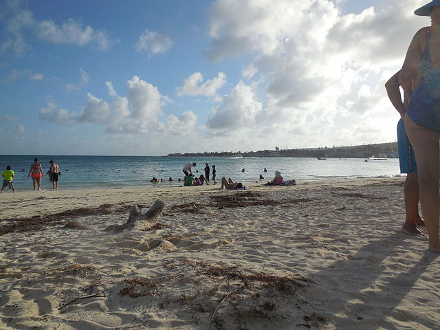
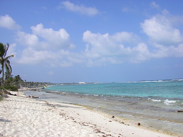
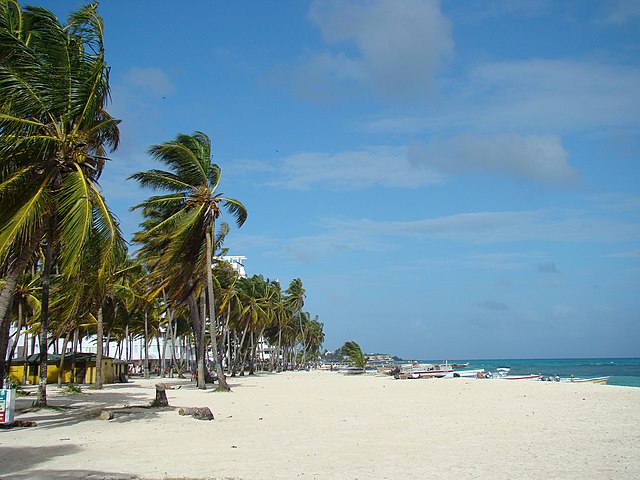
 Beach in San Andrés
-

-

-

-
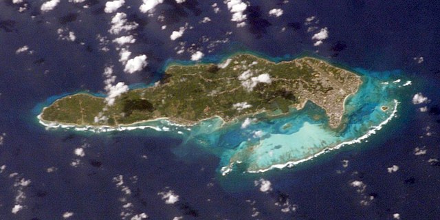 Satellite image of San Andrés Island
-
 Map of the island
-
 Pirate Henry Morgan
-
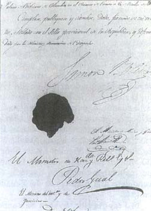 Constitution of Cúcuta.
-
 Map
Map
-
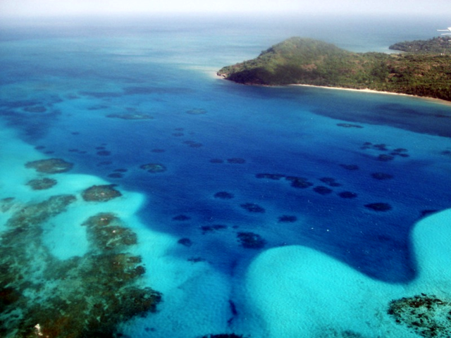
 Cayo Cangrejo near the island of Providence.
-
 Rocky Cay Beach
-
 Coral reefs in Providence.
-
 Breadfruit tree
-
 White-winged dove (Zenaida asiatica) on San Andrés.
-
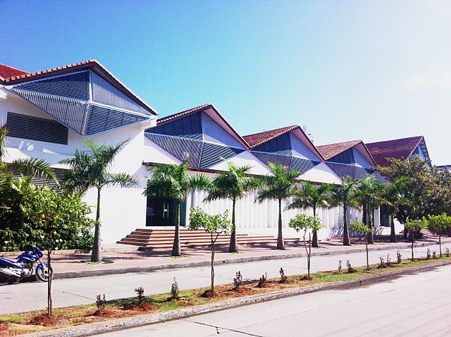
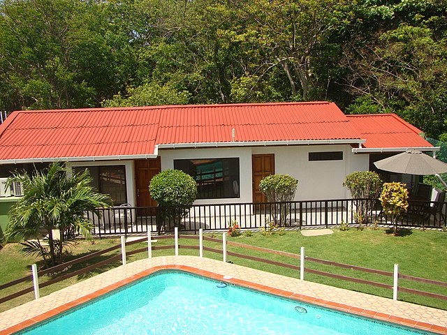
 Typical house in San Andrés Island.
-
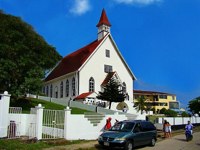 Iglesia Bautista Emmanuel, built in La Loma in 1847.
-
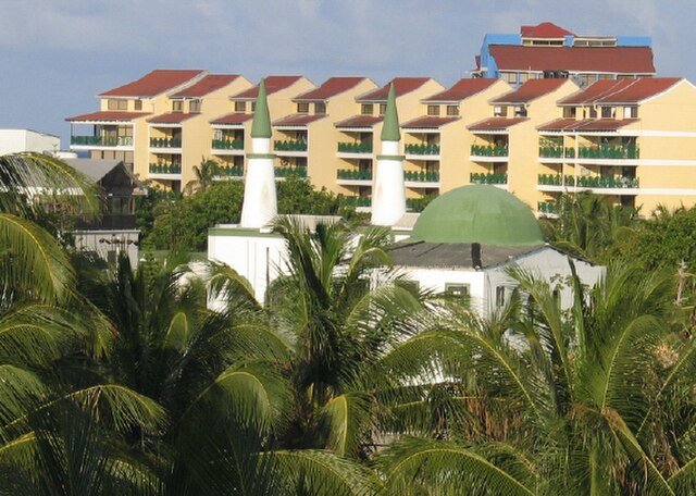 Mosque.
-
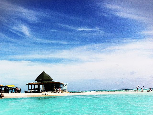
 San Andrés beach.
-

-

-
-
-

-

-

-

-
-
-
-

-

-

-

-

-

-

-

-

-
-

-

-

-

-


Comments
Share your experience with others and write the first comment about the location