


 Roman road, just outside the park")
Source:
Wikipedia
Peneda-Gerês National Park (Parque Nacional da Peneda-Gerês)
The Peneda-Gerês National Park (Portuguese: Parque Nacional da Peneda-Gerês, Portuguese pronunciation: [ˈpaɾkɨ nɐsjuˈnaɫ ðɐ pɨˈneðɐ ʒɨˈɾeʃ]), also known simply as Gerês, is the oldest protected area and the only national park in Portugal and is located in the Viana do Castelo, Braga, and Vila Real Districts.
It was created on 8 May 1971 due to its national and international scientific interest, with the aim to protect the soil, water, flora, fauna, and landscape, while preserving its value to the existent human and natural resources. Education and tourism are also goals of the park.
- 1 History
-
2
Geography
- 2.1 Physical geography
- 2.2 Climate
- 2.3 Biome
- 2.4 Ecoregions, zoning and management plan
- 2.5 Human geography
- 3 Research
- 4 Economy
- 5 Barroso Agro-sylvo-pastoral System
- 6 Tourism
- 7 References
Links
Images Gallery
-

-

-

-

-

-

-

-
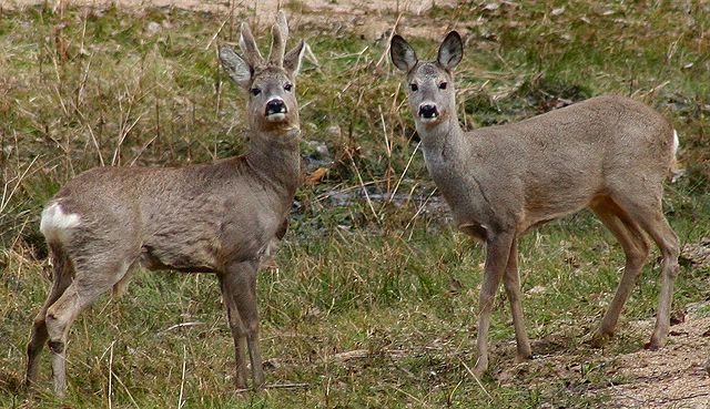
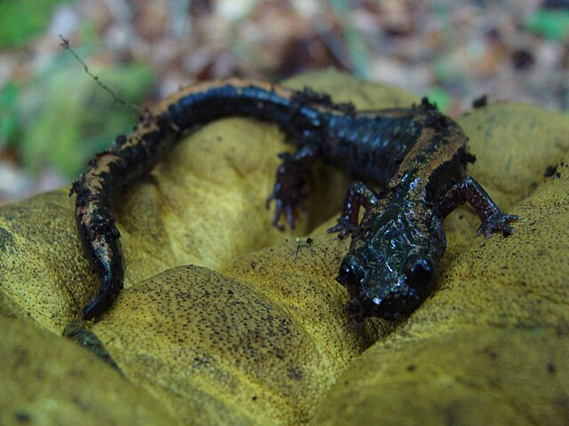 The Gold-striped salamander, a native of the park, is highly dependant on clear, well-oxygenated streams in mountainous humid areas. Although common in Gerês, it is a vulnerable species regarding its distribution[21]
-

-

-

-

-

-

-

-

-

-
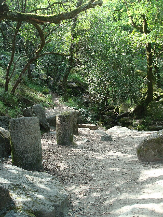
 Dolmens in Serra do Soajo, used by early inhabitants in the inhospitable high altitudes
-
 Bridge of Cava da Velha, a Roman bridge built in the 1st century AD, refined during the 7th or 8th century.[3]
-
 Marking of the Via Nova (Geira) Roman road, just outside the park
-

-
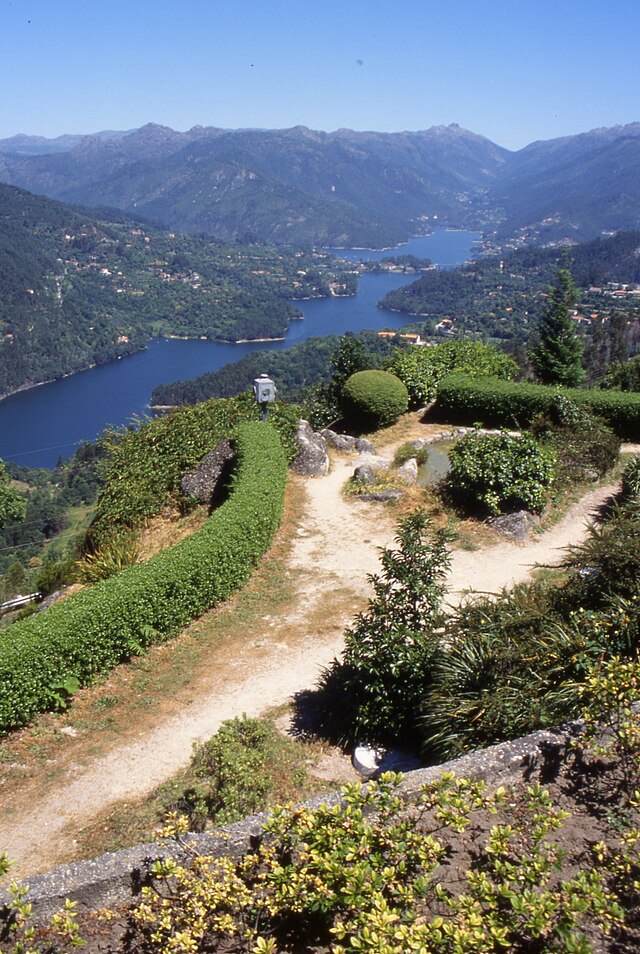
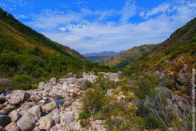
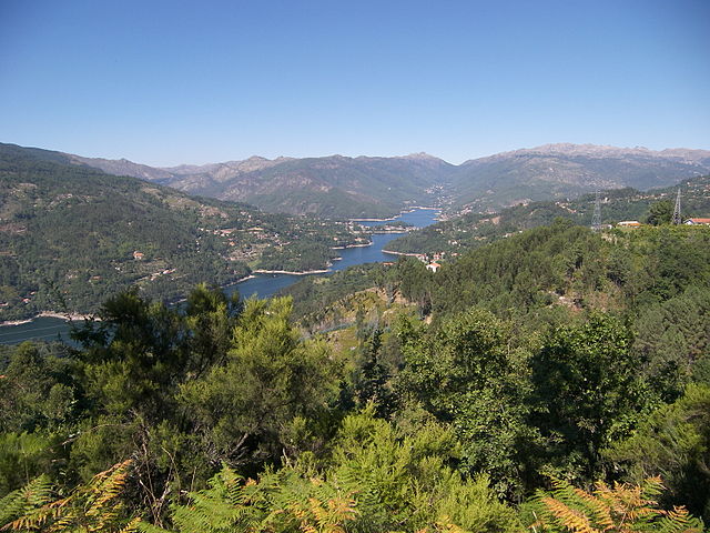 A view of the Lima River and landscape within the national park
-
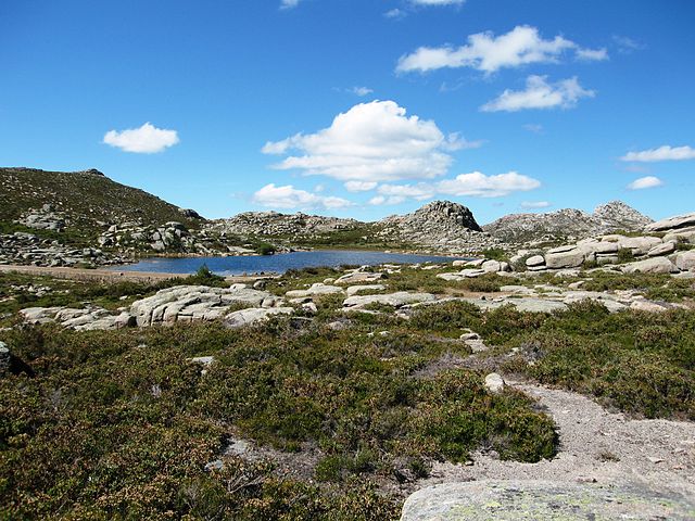
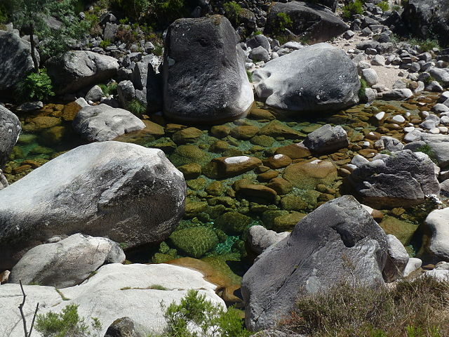 The rounded rocks and boulders of the Gerês granite structure, surrounding a small kettle lake
-
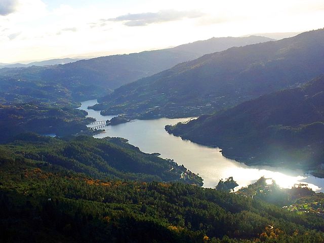
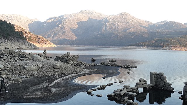
 Glaciar carved valley of the Homem river
-
 Fog forms over the valley in Terras de Bouro
-
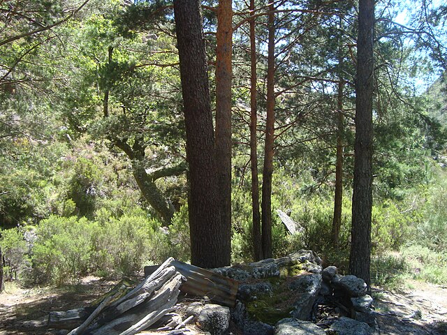
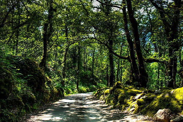 Temperate broadleaf and mixed forests of Peneda-Gerês
-
 Mountain colonized by ferns. There are over 24 species of fern in the park.[19]
-
 Garrano wild horses have lived in this region since Prehistoric times
-
 Feral cows of the park
-
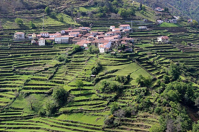
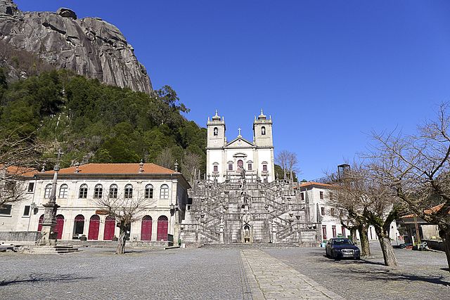
 One of the settlements of Gerês
-

-

-
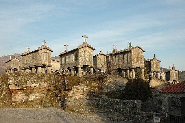
 The Espigueiros of Soajo are 24 granite granaries classified as property of public interest.
-

-

-

-

-
-

-

-

-

-
-

-

-

-

-

-

-
-

-

-
-
-

-

-

-

-

-
-

-

-

-

-

-

-

-

-

-

-

-

-

-

-
-

-

-

-
-

-

-

-

-

-

-
-
-

-


Comments
Share your experience with others and write the first comment about the location
Source:
Wikipedia
Peneda-Gerês National Park
➴ Coordinates:
41° 50‘ N, 8° 14‘ W
Tags
Weather
18. Dezember 2025
N/A °
N/A
N/A
N/A
Wind
N/A k/h
Humidity
N/A
Visibility
N/A km