


Source:
Wikipedia
Morrocoy National Park (Parque nacional Morrocoy)
Morrocoy National Park is located in the easternmost coast of Falcón state and northwestern of Golfo Triste, in the west central Venezuelan coast, near the towns of Boca de Aroa, Tucacas, Sanare, Chichiriviche, Flamenco and Tocuyo de la Costa, and consists of 12,990 hectares (32,090 acres). It was declared a national park on May 26, 1974 by Executive Order No. 113, Official Gazette No. 30408 on May 27, 1974.
- 1 Overview
- 2 Access
- 3 Fauna
- 4 Flora
- 5 Climate
- 6 Tourist activities
- 7 Los Juanes
- 8 References
- 9 External links
Links
Images Gallery
-
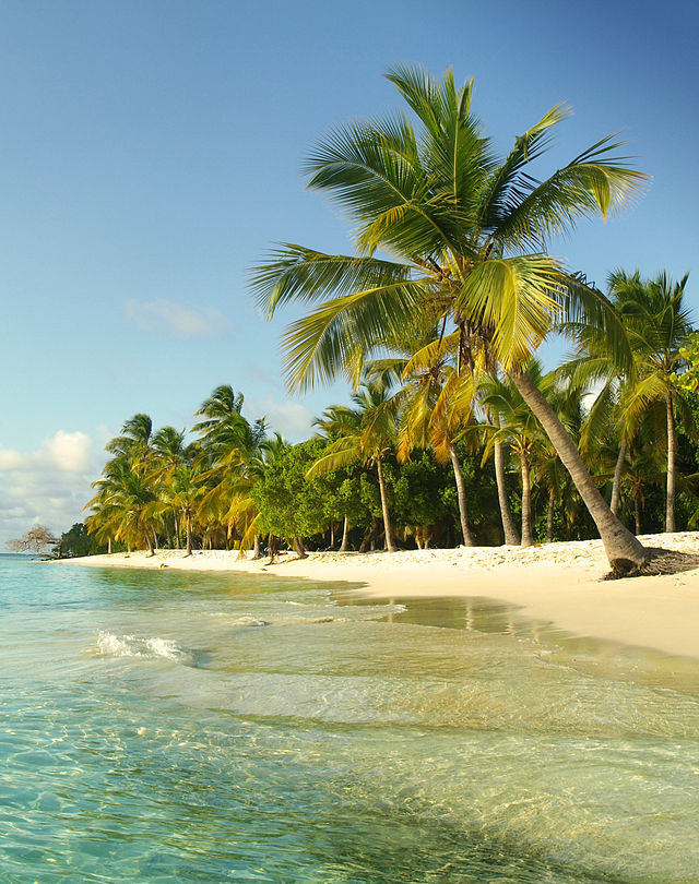
 View of the Morrocoy National Park.
-

-
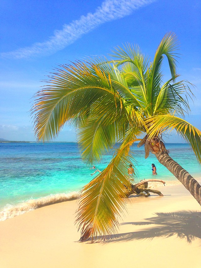
 Coconut palm tree in Sombrero cay.
-
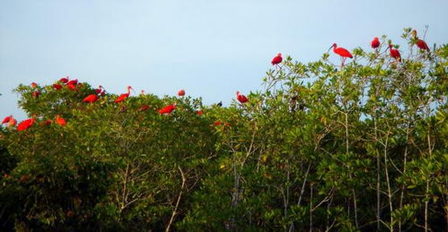 Corocoro, bird species found in the Morrocoy National Park.
-
 Reef located in Morrocoy National Park.
-
 Crystal clear waters of the Caribbean Sea, Morrocoy National Park, Venezuela.
-
 Cave of the Holy Virgin
-

-

Comments
Share your experience with others and write the first comment about the location
Source:
Wikipedia
Morrocoy National Park
➴ Coordinates:
10° 51‘ N, 68° 18‘ W
Tags
Weather
3. Januar 2026
N/A °
N/A
N/A
N/A
Wind
N/A k/h
Humidity
N/A
Visibility
N/A km