Stockton Beach
Stockton Beach is located north of the Hunter River in New South Wales, Australia. It is 32 km (20 mi) long and stretches from Stockton, to Anna Bay. Over many years Stockton Beach has been the site of numerous shipwrecks and aircraft crash sites. In World War II it was fortified against a possible attack by Imperial Japanese forces. During that time it served as a bombing and gunnery range as well as a dumping area for unused bombs by aircraft returning from training sorties. The length of the beach, its generally hard surface and numerous items of interest along the beach make it popular with four-wheel drive (4WD) enthusiasts. Four-wheel drive vehicles are permitted to drive on Stockton Beach provided the vehicles are in possession of valid permits. The beach is also popular with fishermen and several different varieties of fish may be caught.
- 1 Geography
-
2
History
- 2.1 Aboriginal history
- 2.2 Tin City
- 2.3 Wartime history
- 2.4 Leigh Leigh
- 2.5 National park
- 2.6 Shipwrecks
- 3 Tourism
- 4 Vehicular access
- 5 Sand mining
- 6 Wildlife
- 7 Big Beach Challenge
- 8 Gallery
- 9 References
- 10 External links
Links
Images Gallery
-

-

-
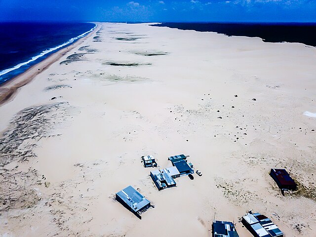
 Tin City
-
 Tank trap at the northern end of the beach in Anna Bay
-
 The MV Sygna on Stockton Beach in June 2009
-
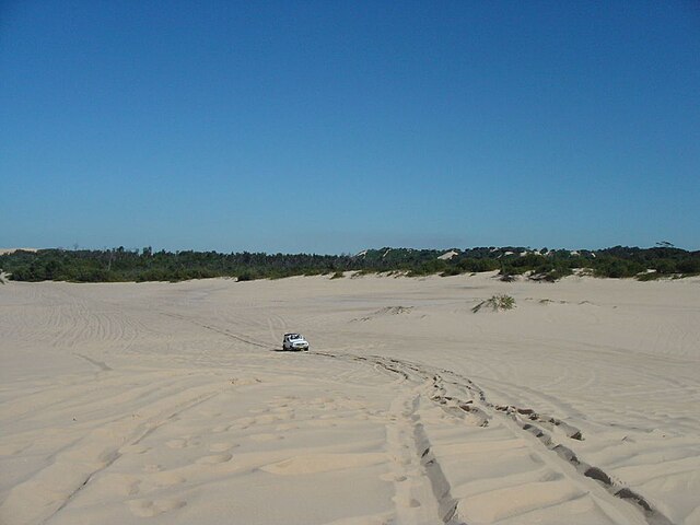
 A 4WD vehicle heading toward the waterfront after entering Stockton Beach via Lavis Lane.
-

-

-

-

-

Comments
Share your experience with others and write the first comment about the location


