


")


Source:
Wikipedia
St. Martin's Island (সেন্ট মার্টিন দ্বীপ)
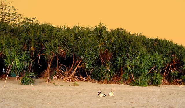
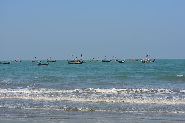
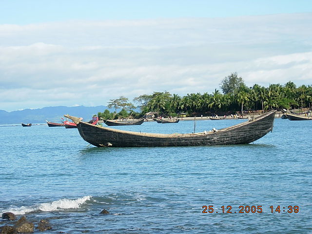
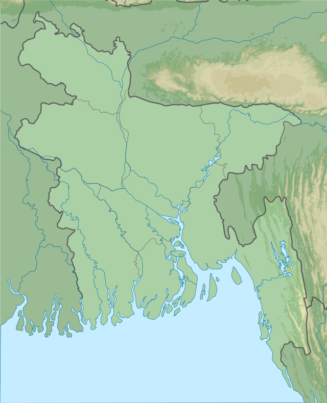
St. Martin's Island (Bengali: সেন্ট মার্টিন্স দ্বীপ) is a small island (area only 3 km2) in the northeastern part of the Bay of Bengal, about 9 km south of the tip of the Cox's Bazar-Teknaf peninsula, and forming the southernmost part of Bangladesh. There is a small adjoining island that is separated at high tide, called Chera Dwip. It is about 8 kilometres (5 miles) west of the northwest coast of Myanmar, at the mouth of the Naf River.
Links
Images Gallery
-

-

-

-

-

-

-

-

-

-

-

-

-
 UP complex of St. Martin's Island
-
 Coral in St. Martin's Island .
-
 M.V. Bangali. (32191488734)
-
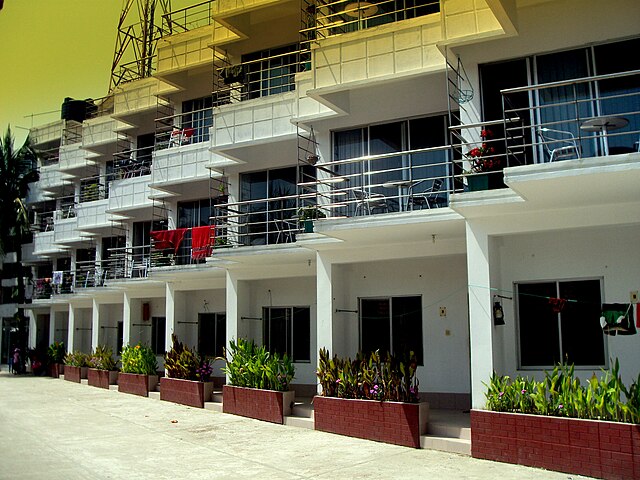 A resort hotel on St. Martin's Island
-
 'Keari Sindbad' an advanced sea-going vessel with modern facilities for tourists
-

-

-

-

Comments
Share your experience with others and write the first comment about the location
Source:
Wikipedia
St. Martin's Island
➴ Coordinates:
20° 37‘ N, 92° 19‘ E
Tags
Weather
21. Dezember 2025
N/A °
N/A
N/A
N/A
Wind
N/A k/h
Humidity
N/A
Visibility
N/A km