


Source:
Wikipedia
Phang Nga Bay (อ่าวพังงา)
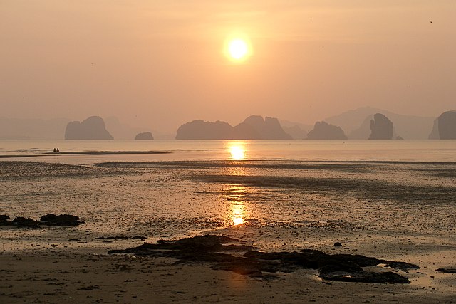
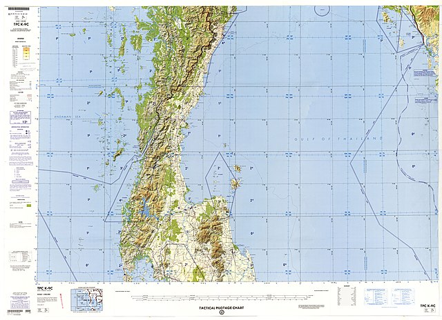
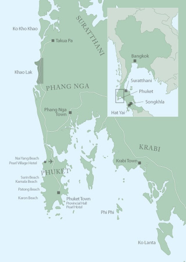
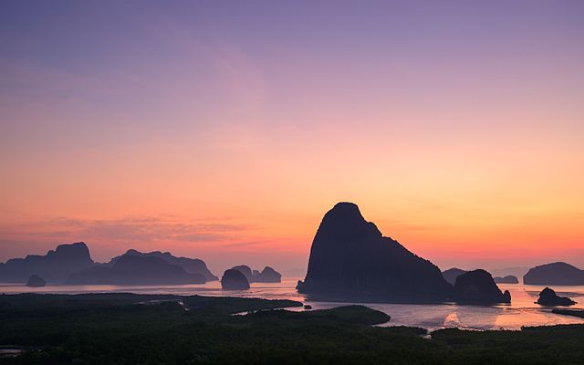
Phang Nga Bay (Thai: อ่าวพังงา, RTGS: ao phangnga, Thai pronunciation: [ʔàːw pʰāŋ.ŋāː]) is a 400 km2 bay in the Strait of Malacca between the island of Phuket and the mainland of the Kra Isthmus of southern Thailand. Since 1981, an extensive section of the bay has been protected as the Ao Phang Nga National Park. The park is in Phang Nga Province, at 08°17'N 098°36'E.
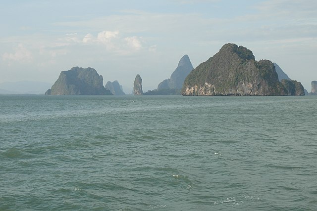
Limestone cliffs with caves, collapsed cave systems, and archaeological sites are found about Phang Nga Bay. Around 10,000 years ago, when sea levels were lower, it was possible to walk from Phuket and Krabi.
Links
Images Gallery
-

-
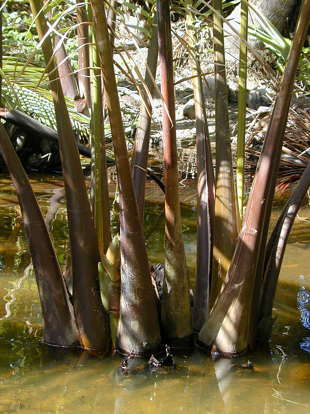
 Islets in Phang Nga Bay
-
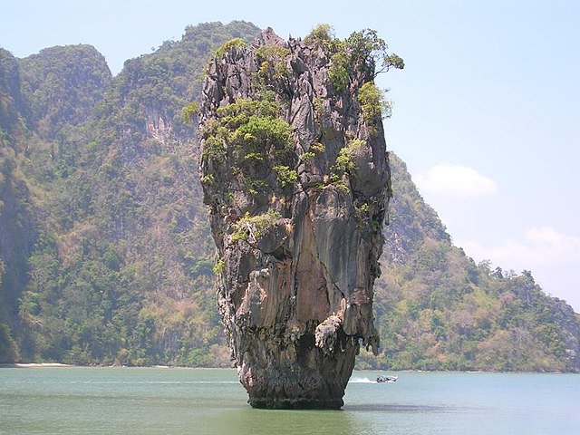
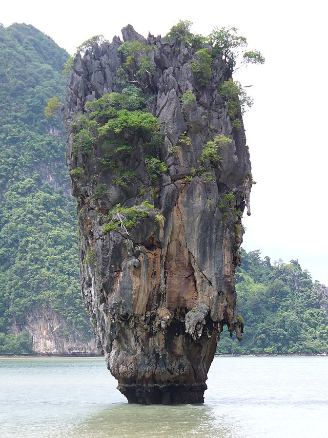 Ko Tapu, also known as James Bond Island, Phang Nga Bay
-

-

-

-

-

-

-

-

-

-

-

-

-

-

-

-

-

-

-
-

-

-

-

-
-
-

-

-

-
-

-

-


Comments
Share your experience with others and write the first comment about the location
Source:
Wikipedia
Phang Nga Bay
➴ Coordinates:
8° 14‘ N, 98° 33‘ E
Tags
Weather
17. Dezember 2025
N/A °
N/A
N/A
N/A
Wind
N/A k/h
Humidity
N/A
Visibility
N/A km