

.")


Guanabara Bay (Baía de Guanabara)
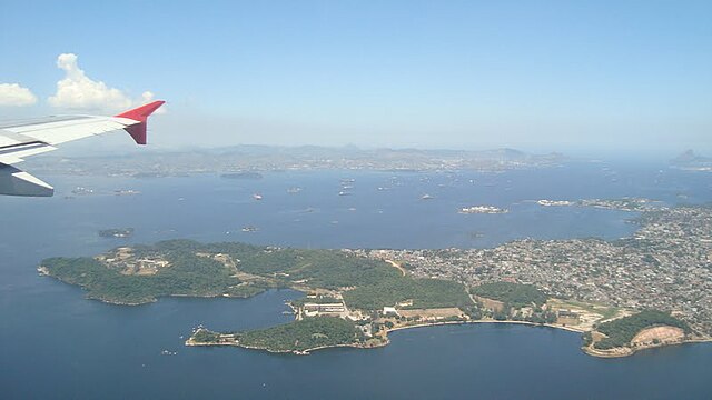
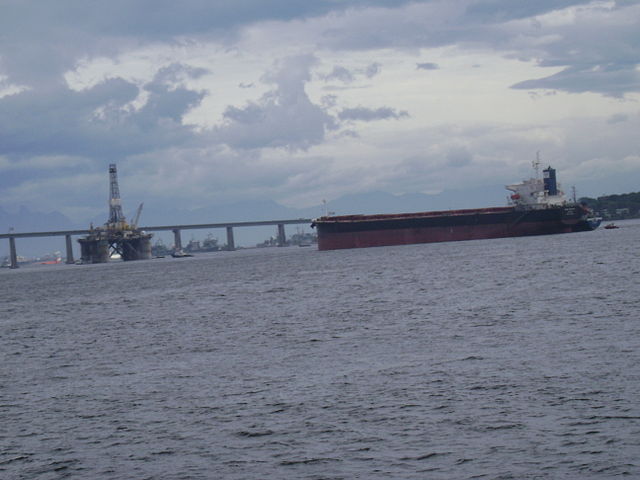
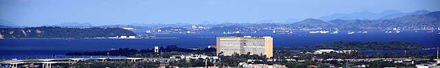
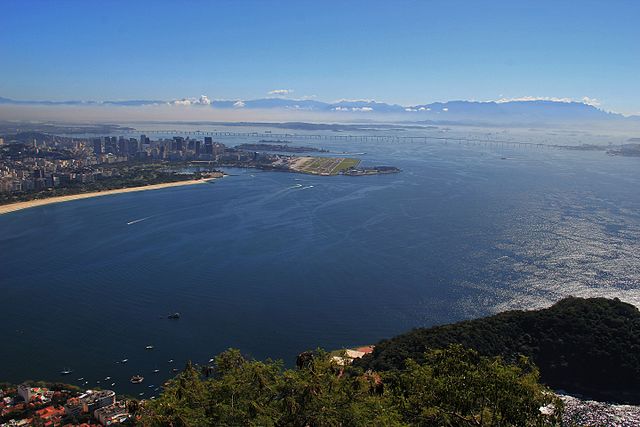
Guanabara Bay (Portuguese: Baía de Guanabara, IPA: [ɡwanaˈbaɾɐ]) is an oceanic bay located in Southeast Brazil in the state of Rio de Janeiro. On its western shore lies the cities of Rio de Janeiro and Duque de Caxias, and on its eastern shore the cities of Niterói and São Gonçalo. Four other municipalities surround the bay's shores. Guanabara Bay is the second largest bay in area in Brazil (after the All Saints' Bay), at 412 square kilometres (159 sq mi), with a perimeter of 143 kilometres (89 mi).
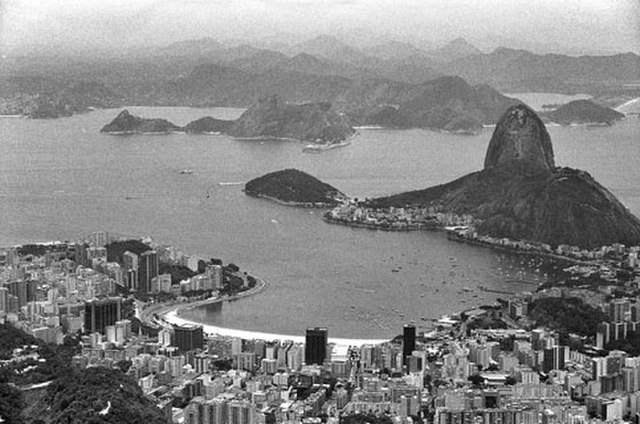
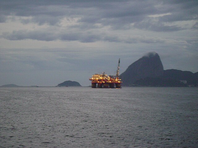
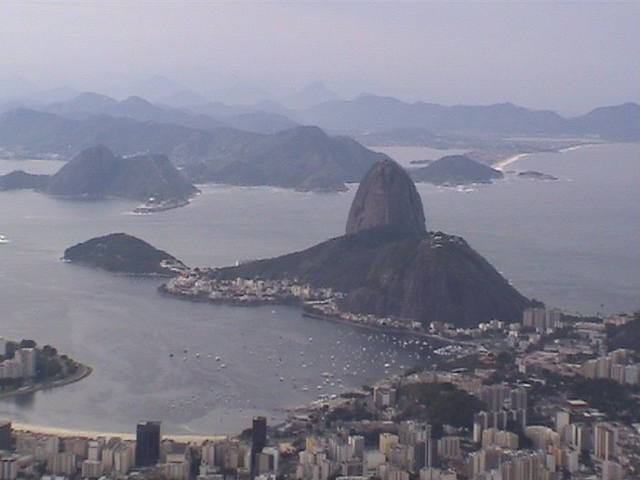
Guanabara Bay is 31 kilometres (19 mi) long and 28 kilometres (17 mi) wide at its maximum. Its 1.5 kilometres (0.93 mi) wide mouth is flanked at the eastern tip by the Pico do Papagaio (Parrot's Peak) and the western tip by Pão de Açúcar (Sugar Loaf).
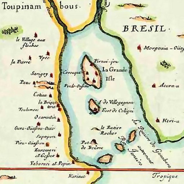
The name Guanabara comes from the Tupi language, goanã-pará, from gwa "bay", plus nã "similar to" and ba'ra "sea". Traditionally, it is also translated as "the bosom of sea".
- 1 History
- 2 Description
- 3 Environment
- 4 References
- 5 Further reading
Links
Images Gallery
-

-

-
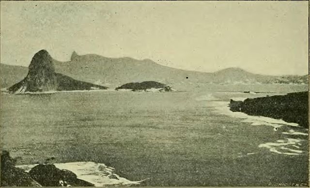
 View of Rio de Janeiro from Guanabara Bay (early 20th-century picture).
-
 Guanabara Bay with the statue of Christ the Redeemer at the foreground
-
 Sunrise over Guanabara Bay from central Rio de Janeiro—the cities of Niterói and São Gonçalo are opposite on the Bay's eastern shore
-
 View of Rio de Janeiro from Guanabara Bay
-

-

-

-

-

-

-

-

-

-

-

-

-

-

-


Comments
Share your experience with others and write the first comment about the location