


Devils Tower
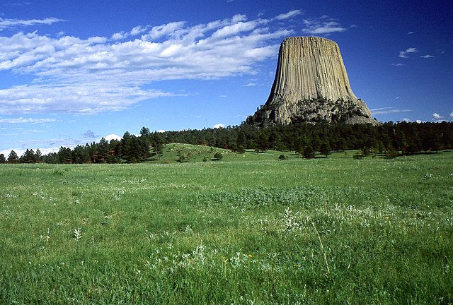
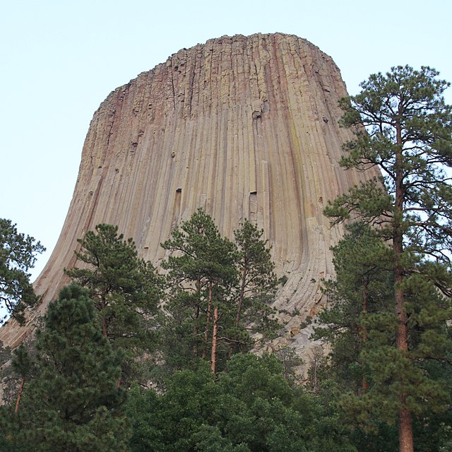
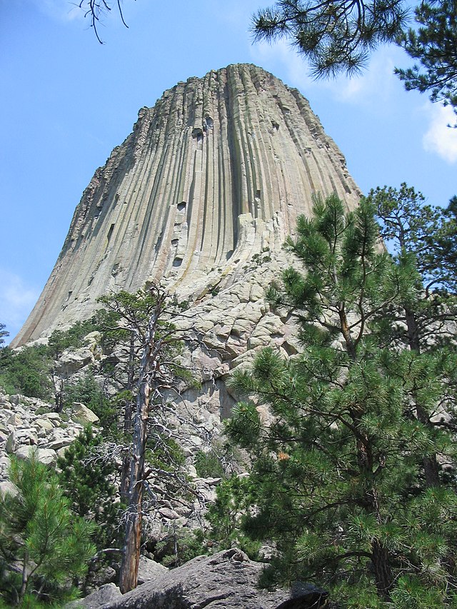
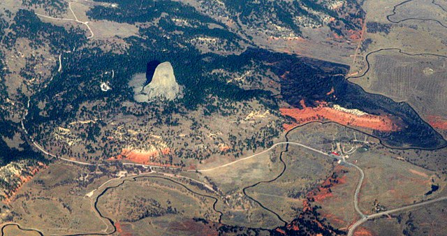
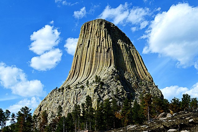
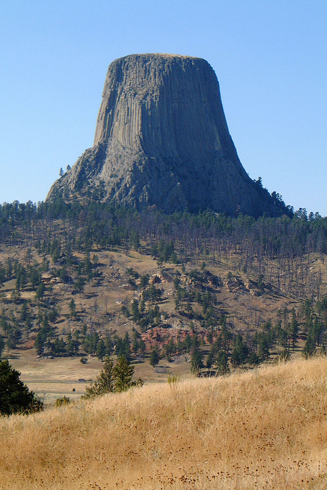
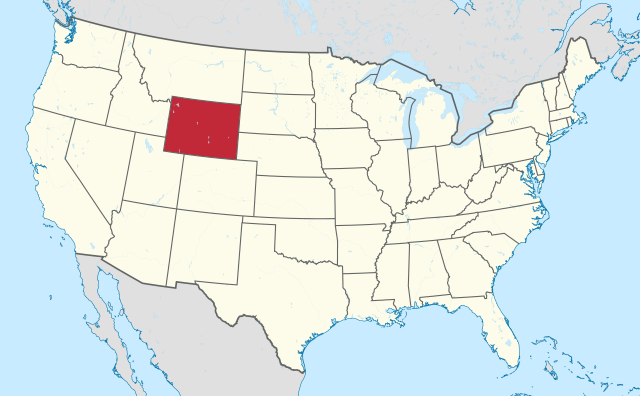
Devils Tower (also known as Bear Lodge Butte) is a butte, possibly laccolithic, composed of igneous rock in the Bear Lodge Ranger District of the Black Hills, near Hulett and Sundance in Crook County, northeastern Wyoming, above the Belle Fourche River. It rises 1,267 feet (386 m) above the Belle Fourche River, standing 867 feet (265 m) from summit to base. The summit is 5,112 feet (1,559 m) above sea level.
Devils Tower was the first United States national monument, established on September 24, 1906, by President Theodore Roosevelt. The monument's boundary encloses an area of 1,347 acres (545 ha).
In recent years, about 1% of the monument's 400,000 annual visitors climbed Devils Tower, mostly using traditional climbing techniques.
- 1 Origin of name
- 2 Geology
- 3 Native American culture
- 4 Recent history
- 5 Climbing
- 6 Wildlife
- 7 In popular culture
- 8 See also
- 9 References
- 10 Bibliography
- 11 External links
Links
Images Gallery
-

-

-

-

-

-

-

-

-

-

-

-

-

-

-
 A sign informs visitors of the Native American heritage.
-
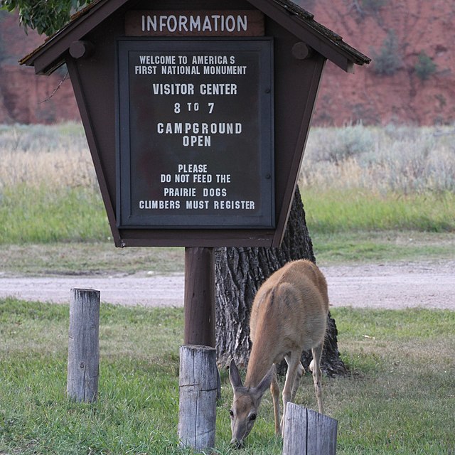 Deer grazing at the national monument entrance
-
 Ponderosa pine forest east of Devils Tower
-

-

-

-

-
-

-

-

-
-

-

-
-

-
-

-
-
-


Comments
Share your experience with others and write the first comment about the location