


Source:
Wikipedia
Chapada dos Veadeiros National Park (Parque Nacional da Chapada dos Veadeiros)
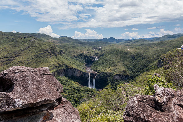
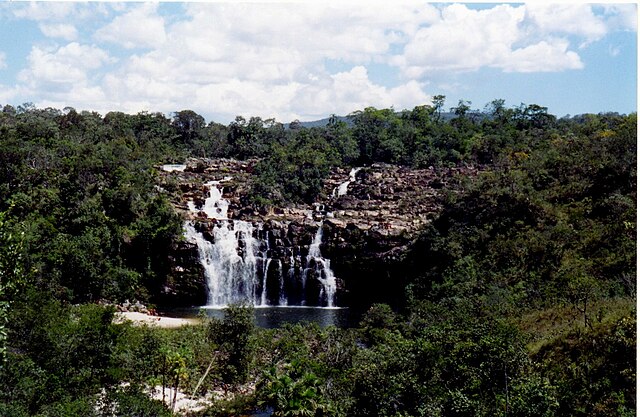
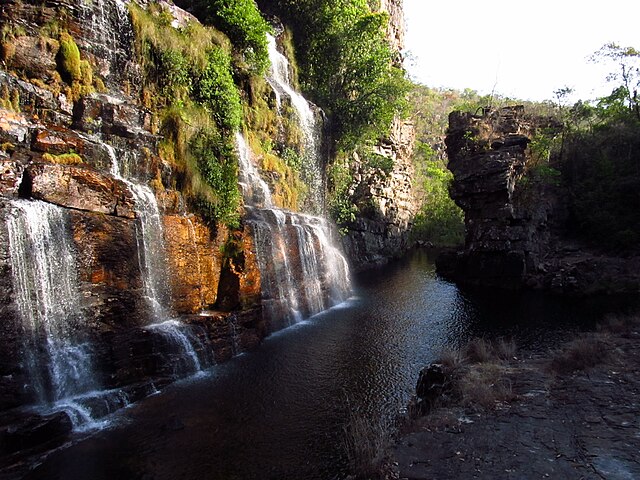
Chapada dos Veadeiros National Park (Portuguese: Parque Nacional da Chapada dos Veadeiros) is a national park of Brazil located in the state of Goiás, on the top of an ancient plateau with an estimated age of 1.8 billion years. The park was created on January 11, 1961 by President Juscelino Kubitschek, and listed as a World Heritage Site by Unesco in 2001. It occupies an area of 655 square kilometres (253 sq mi) in the municipalities of Alto Paraíso de Goiás, Cavalcante and Colinas do Sul. The park is maintained by Chico Mendes Institute for Biodiversity Conservation.
-
1
History
- 1.1 Kalungas
-
2
Geography
- 2.1 Climate
- 2.2 Altitude
- 2.3 Rock formations
- 2.4 List of waterfalls
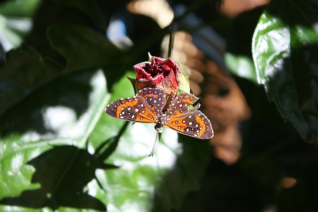
- 2.5 The local fauna
- 3 References
- 4 External links
Links
Images Gallery
-

-

-

-

-

-
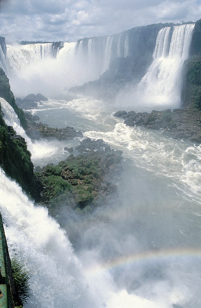
 Rainbow adorns the Salto II waterfall of "Black River"
-

-

-

-

-

-

-

-

-

-

-

-

-

-

-

-

-
-
-

-

-

-

-

-

-

-
-
-

-
-

-

-

-

-

-

-
-

-

-
-

-

-

-

-

-

-

-

-

-


Comments
Share your experience with others and write the first comment about the location
Source:
Wikipedia
Chapada dos Veadeiros National Park
➴ Coordinates:
14° 2‘ S, 47° 37‘ W
Tags
Weather
29. Dezember 2025
N/A °
N/A
N/A
N/A
Wind
N/A k/h
Humidity
N/A
Visibility
N/A km