Source:
Wikipedia
Chapada dos Veadeiros (Parque Nacional da Chapada dos Veadeiros)
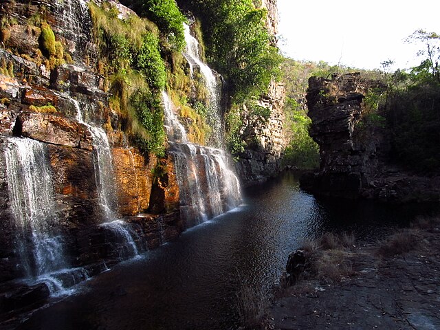
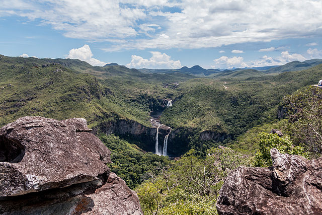
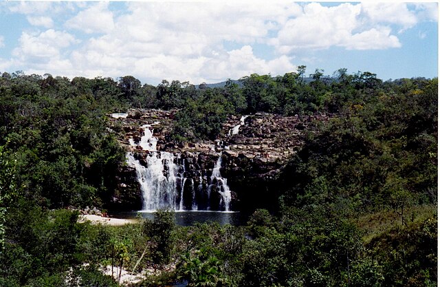
Die Chapada dos Veadeiros ist eine Hochebene im Nordosten des brasilianischen Bundesstaats Goiás.
-
1
Nationalpark
- 1.1 Sehenswürdigkeiten
- 1.2 Fauna und Flora
- 1.3 Zugang
- 2 Siehe auch
- 3 Weblinks
- 4 Einzelnachweise
Links
Images Gallery
-

-

-

-
 Vale da Lua
-

-

-

-

-
-

-

-

-

-

-

-

-
-
-
-

-

-

-
-
-

-

-
-

-
-
-

-
-
-

-

-

-

-
-
-

-

-
-

-

-
-

-

-

-

-

-

-
-

-

-

Comments
Share your experience with others and write the first comment about the location
Source:
Wikipedia
Chapada dos Veadeiros
➴ Coordinates:
14° 2‘ S, 47° 37‘ W
Tags
Weather
9. Januar 2026
N/A °
N/A
N/A
N/A
Wind
N/A k/h
Humidity
N/A
Visibility
N/A km


