Villarrica National Park (Parque nacional Villarrica)
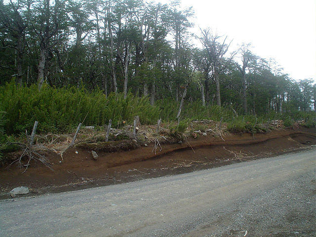
Villarrica National Park is located in the Andes, in the La Araucanía and Los Ríos regions of Chile, near Pucón. The centerpiece of the park is a line of three volcanoes stretching transversely to the Andean range: Villarrica, Quetrupillán, and Lanín. Other mountains in the park include Quinquilil volcano (2,050 m (6,726 ft)), also known as Colmillo del Diablo, and Cerro Las Peinetas, which lies on the border between Argentina and Chile. It ranges in elevation from 600 m (1,969 ft) to 3,776 m (12,388 ft) at Lanín Volcano.The drainage divide between the Toltén River drainage basin and the Valdivia River basin runs through the park and marks the boundary between the Cautín Province and the Valdivia Province.A portion of the park is included in the Bosques Templados Lluviosos de los Andes Australes Biosphere Reserve.
Links
Images Gallery
Comments
Share your experience with others and write the first comment about the location


