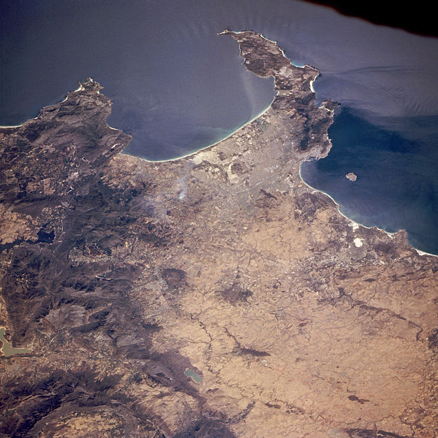
 y la bahía de la Mesa, junto con la Isla Robben (izquierda). Compilación producida por la NASA de los datos de Landsat y el SRTM.")


 a Cabo Hangklip (derecha)")


Source:
Wikipedia
Bahía Falsa (False Bay)
Bahía Falsa (en afrikáans, Valsbaai y en inglés, False Bay) es una ensenada natural entre los océanos Índico y Atlántico en Sudáfrica formada por los Cabos Hangklip ("roca colgante" en afrikáans y neerlandés) y la Península del Cabo en el extremo suroeste de Sudáfrica.
Links
Images Gallery
-
 La Península del Cabo vista del Oeste, bahía falsa (derecha) y la bahía de la Mesa, junto con la Isla Robben (izquierda). Compilación producida por la NASA de los datos de Landsat y el SRTM.
-

-

-

-
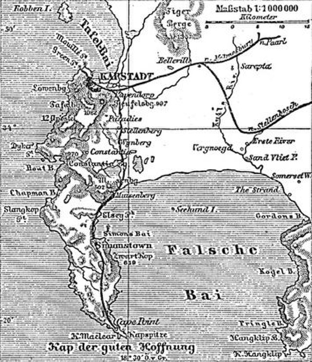
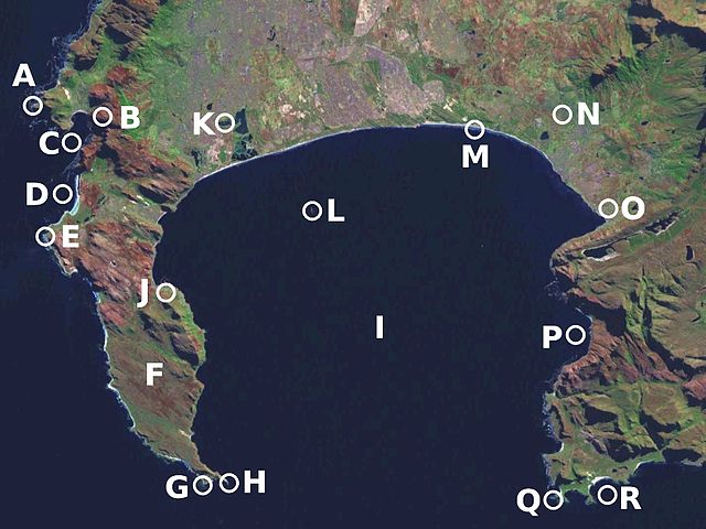
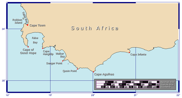 Mapa que muestra las ubicaciones de bahía falsa y la bahía de la Mesa.
-

-

-
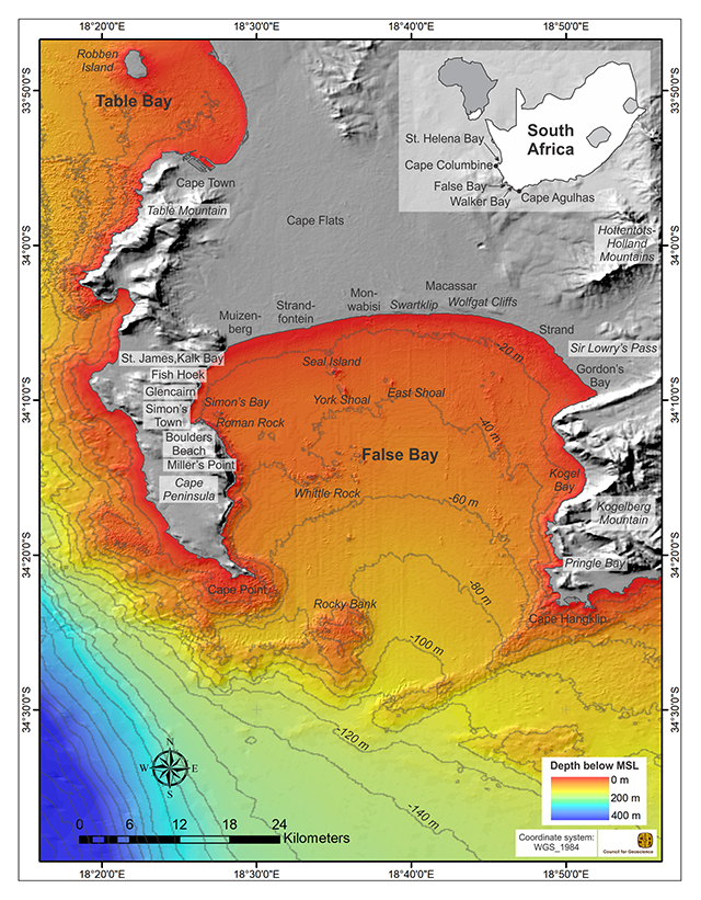
 Costa oriental de bahía falsa: Bahía de Gordon (izquierda) a Cabo Hangklip (derecha)
-

-

-

-

-

-
 Surfers Corner; zona de surf de Muizenberg en la bahía
-

-

-

-

-
 Un cañón de avancarga de 9 pulgadas sobre la Bahía Falsa instalado en Simon's Town en los años 1800s por los británicos para defender la bahía.
-

-

-


Comments
Share your experience with others and write the first comment about the location
Source:
Wikipedia
Bahía Falsa
➴ Coordinates:
34° 14‘ S, 18° 39‘ E
Tags
Weather
18. Dezember 2025
N/A °
N/A
N/A
N/A
Wind
N/A k/h
Humidity
N/A
Visibility
N/A km