


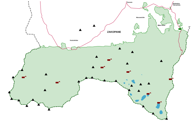
Parque nacional Tatra (Polonia) (Tatrzański Park Narodowy (Polska))
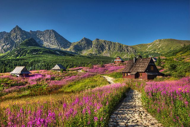
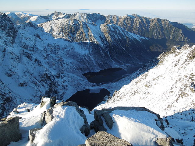
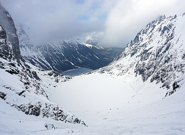
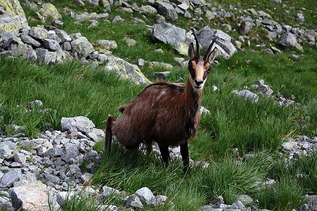
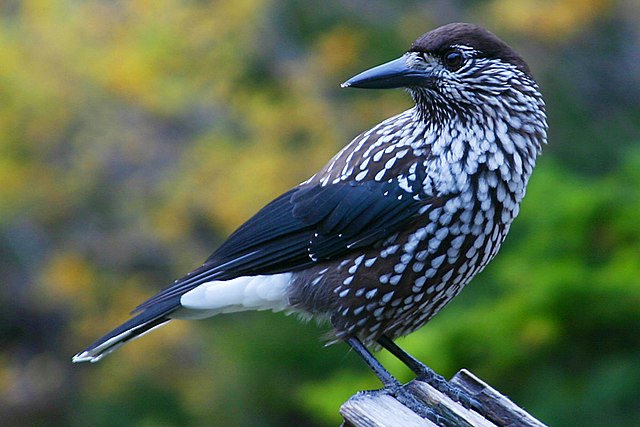
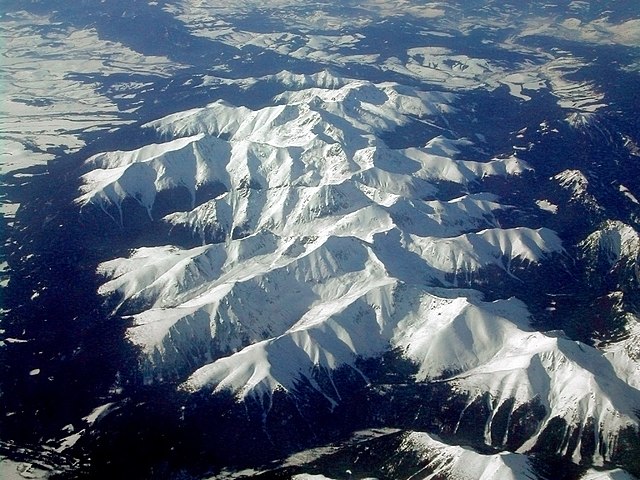
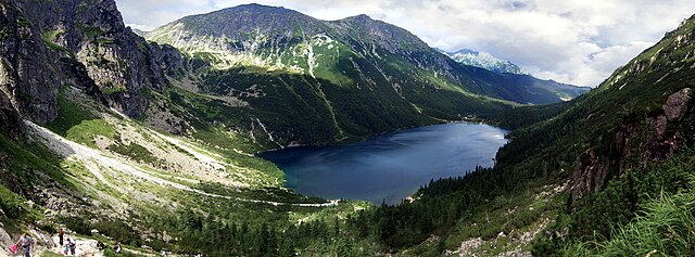
Parque nacional Tatra (en polaco: Tatrzański Park Narodowy)[1] es un parque nacional situado en las montes Tatras, en la región de Malopolska, en el sur de Polonia, en la frontera con Eslovaquia. Fue creado en 1954 sobre una superficie de 215,56 kilómetros cuadrados, pero es en la actualidad un poco más pequeño, con 211,64 kilómetros cuadrados (81,71 millas cuadradas). De esta cantidad, 151,91 kilómetros cuadrados son bosques y el resto principalmente son praderas. Estrictamente protegidas se encuentran unos 115,14 km², de los cuales 61,49 km² son ecosistemas forestales.
El parque tiene su sede en la ciudad de Zakopane. También hay un parque nacional similar en el lado de la frontera eslovaca, llamado parque Narodny Tatransky.
Links
Images Gallery


Comments
-
There are some good things and some not so much: 1. The nature is beautiful, there is definitely what to see; 2. Trails are marked everywhere so it's hard to get lost; 3. More or less you can reach most of the peaks and with no big preparation; 4. Trails marking have colors, but they mean nothing, nor the length nor the difficulty, NOTHING; 5. Some of the trails are not marked in any special way, but they are really dangerous, where you have to climb almost vertically holding on the chain (definitely not for everyone); 6. Lack of information, especially in English - we asked for map in information center and we got it for free but only in Polish, or we found out that one trail is closed only when we reached it, there was no sign, not info before it; 7. Some trails have moving direction, but is hard to understand why, because there was basically no places where you can't pass by each other. Overall in straight 4 days we visited most of the places, with one drive up with cable car and a lot of walking, but there are at least for two more days.
2 weeks ago -
-
Rapidly changing weather during summertime made the trip even more powerful and inspiring. A bit challenging trip to Gąsiennicowa. Worth it for bonding time with family. Recommended by #mentalproworldschooling 🗺
4 weeks ago -
-
A great place to sightsee and hike in, the trails were challenging but not too difficult so most people can complete them, would recommend bringing water bottles and a lot of motivation.
a month ago -
-
-