Parque nacional Torres del Paine
El Parque Nacional Torres del Paine es una de las áreas silvestres protegidas más importantes de Chile. Se encuentra ubicado entre la Cordillera de los Andes y la estepa Patagónica, en la Comuna de Torres del Paine, provincia de Última Esperanza, entre los 51° de latitud sur y 72° 57' de longitud oeste, distante unos 150 km de Puerto Natales y a 318.2 km de Punta Arenas. Fue creada el año 1959 y es administrada por la Corporación Nacional Forestal.
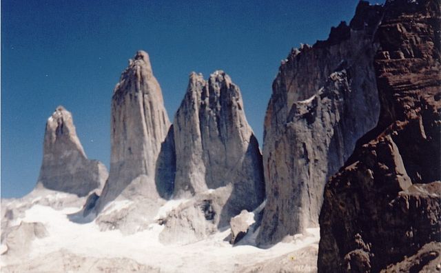
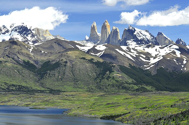
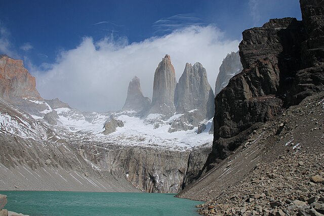
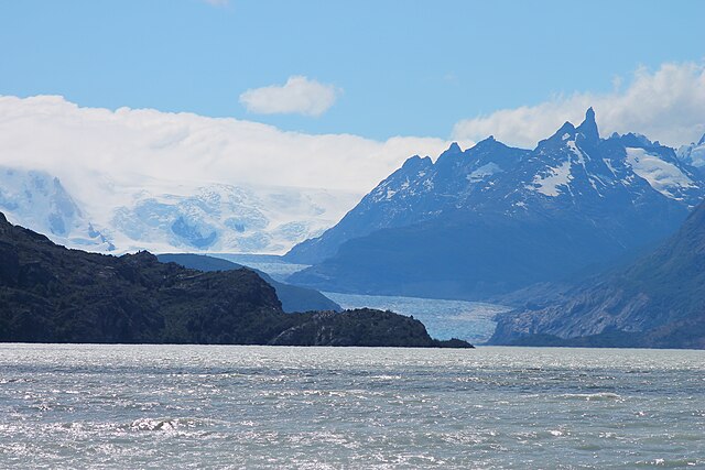
Con un territorio de 227 298 hectáreas, comprende la cordillera Paine y su famoso macizo, que incluye las cumbres Paine Grande y sus conocidas torres, que le otorgan su nombre. En su interior se encuentran una gran variedad de hitos geográficos naturales como valles, el río Paine, los lagos Grey, Pehoé, Nordenskjöld y Sarmiento, y los glaciares Grey, Pingo y Tyndall, pertenecientes al Campo de Hielo Patagónico Sur. A contar del año 1978, el área fue incorporada como reserva de la biosfera por la UNESCO.[1]
Conocido internacionalmente por la belleza escénica de su entorno, recibe anualmente más de 280 000 visitantes,[2] la mayoría de ellos extranjeros, convirtiéndose en la tercera área protegida chilena por visitas,[3] Entre sus reconocimientos, en una edición especial de la revista National Geographic, las Torres del Paine fueron escogidas como el quinto lugar más hermoso del mundo.[4] Igualmente, el parque fue seleccionado como la octava maravilla del mundo en 2013, luego de que recibiera más de cinco millones de votos en el concurso que realizó el sitio Virtual Tourist.[5][6]
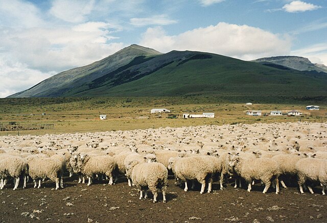
Dueño de una rica historia, este territorio fue primeramente habitado por el pueblo indígena Aonkienk o Tehuelches, cuyos registros, en algunos casos, alcanzan más de 3500 años de historia, y cuyos vestigios se encuentran dentro del actual parque nacional.[7] Este pueblo se vio gravemente afectado por la llegada de colonizadores occidentales en la zona de Última Esperanza a partir del año 1870, lo que derivó en su desaparición y expulsión.[8] A partir del año 1900, la zona fue objeto de una rápida colonización para la explotación ganadera, siendo subdividida en 12 predios que abarcaron tamaños entre 600 y más de 10 000 hectáreas.[8] El año 1959, como producto de diferentes campañas de habitantes de la Región y de visitantes, durante el gobierno del presidente Jorge Alessandri se estableció una primera área protegida, la cual fue rápida y sucesivamente ampliada hasta alcanzar el tamaño actual.[7]
El establecimiento de este parque nacional ha permitido la protección y recuperación de grandes zonas explotadas anteriormente con fines ganaderos y agrícolas, además de una transformación de la economía de la Región con un crecimiento sostenido del turismo y sus servicios asociados.[7] Se ha estimado al año 2018, que este parque contribuye al 10 % del producto interno bruto regional, equivalente a M$190.000. Pese a esta situación, el territorio se ha visto afectado por grandes incendios forestales que han dañado grandes extensiones de su territorio, destacándose los eventos de los años 1883, 1985 (12 500 ha), 2005 (15 000 ha) y 2011-2012 (17 600 ha).[8]
- 1 Historia
- 2 Vías de acceso
-
3
Clima
- 3.1 Pluviometría
- 3.2 Temperatura
- 3.3 Viento
-
4
Geografía
- 4.1 Hidrología
-
5
Biodiversidad
-
5.1
Flora
- 5.1.1 Matorral xerófito pre andino
- 5.1.2 Bosques magallánicos
- 5.1.3 Estepa patagónica
- 5.1.4 Desierto andino
- 5.2 Fauna
-
5.1
Flora
- 6 Visitantes
- 7 Protección del subsuelo
- 8 Véase también
- 9 Referencias
- 10 Enlaces externos
Links
Images Gallery
-
-

-

-

-

-

-
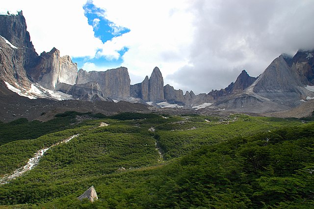
 Lago Nordenskjöld.
-

-

-
-

-

-

-

-

-

-

-

-
-

-

-
-

-
-
 Entrada del parque, administrada por la Corporación Nacional Forestal (Conaf).
-
 Glaciar Grey.
-
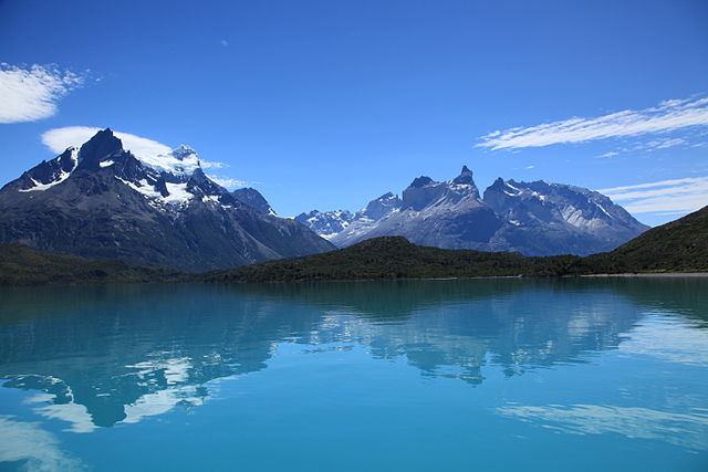
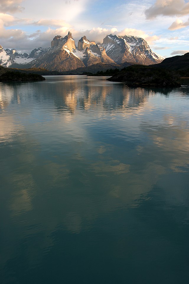
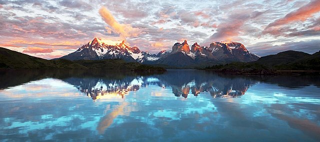
 Los Cuernos del Paine.
-
 Bosque bajo la lluvia en la Cordillera Paine.
-
 Flor de notro (Embothrium coccineum).
-
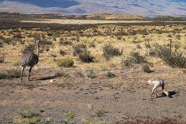
 Un guanaco frente a los Cuernos del Paine.
-

-

-

-

-

-

-

-

-

-

-
-

-
-
-
-
-
-
-

-

-

-
-

-

-
-

-

-

-
-

-
-

-

-

-
-
-

-

-

-
-

-

-

-

-

-

-

-

-

-

-
-
-

-

-

-

-

-
-

-

-

-

-

-

-

-
-

-

-

-

-

-

-

-

-
-

-

-

-

-

-
-

-

-

-
-

-
Comments
-
Absolutely epic, come with a good amount of sum, to access the park, there are multiple fees. Best experience in Latin America
a month ago -
The most iconic place of Patagonia. It is impossible to describe sheer beauty of the place. High snowy peaks, deep valleys, crystal clear lakes with glaciers, sub-Antarctic forests with weirdly distorted pine trees. I will remember my trip to Patagonia for rest of my life.
5 months ago -
Immersion in nature with magnificent mountain forms, glaciers, and turquoise lakes. Alpine vegetation with intense red flowers marking the trails. Torres del Paine has to be one of the most beautiful national parks in the world. It's a tough climb up the morraine to see the 'Torres' but well worth doing when the weather's clear. Long hiking days so it was a treat to enjoy the comfort of a hot shower, a wine, & a delicious meal in a warm lodge before crawling into the tent for the night. Be prepared for changeable weather & wild wind.
8 months ago -
For travelers to Patagonia, Torres del Paine is the cream of the crop. Located on the Chilean side of Patagonia, this other-worldy national park features one of the top treks in the world, the “W” trek. On this hike you’ll see the famous “postcard shots” of icy blue glaciers and lagoons. Doing the W trek with a guided tour is highly recommended for safety as well as unique insights and locations you simply wouldn’t know about without a guide.
2 months ago -
Patagonia is a wonderful world to visit and hiking around Torres del Paine is one of the gems. Unforgettable experience (circa 2000)
a month ago -
Amazing views. I felt that everywhere I turned there was a postcard view. We went with a tour group, which is recommended. There is a short walk to see icebergs that break off and float down stream from the grey glacier. I would recommend spending 2 days at the park. Day one to see the popular look outs etc, day two to see the grey glacier. We missed out on the glacier and I regret it. Apparently there is a 3 hr boat ride to the glacier from the park. I would look into that. Entrance cost CLP 21000 per person. I was wet the day we went, but it was still awesome. Also, it's very cold. Wear wind resistant clothing. Thermals are recommended. ( we went in Nov)
a year ago -
One of the most beautiful places on earth. Beautiful lakes and mountains, stunning views, incredible experience overall. The star missing is for how the authorities approach the tourism; I understand that you prefer being paid in cash, but it is unacceptable in 2020, from a government organization, not to have the possibility to pay with credit card the park fee. I don’t pretend to pay hotels and restaurants (even if they know and they give the chance to pay with card), but at least the entrance fee for the park. Make sure you have full tank on your car (no gas stations) and plenty of cash (better chilean pesos, the change is always good for them)
a year ago -
This was the best hiking/trekking trip I have ever done. The peacefulness, tranquility and shear beauty of the pristine nature in this park alone is worth the visit. Be sure to take cooking equipment, camping equipment and first layer clothing that will keep you warm because the park can get windy and a bit cold in some of the camp sites. It's all part of the adventure! Not to mention the different and amazing types of people you will meet and make friends with along the way. Lastly, during clear nights, one can see the milky way!
4 months ago


