


Parque nacional de Picos de Europa
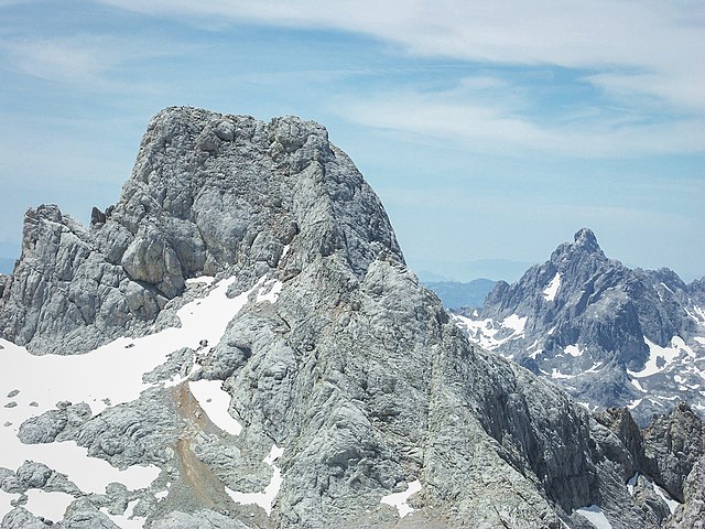
El parque nacional de los Picos de Europa es un espacio natural protegido español de 67 127 hectáreas[5] situado en la cordillera Cantábrica en las provincias de Asturias (27 027 ha), León (24 719 ha) y Cantabria (15 381 ha). Es una de las mejores reservas mundiales de los ecosistemas ligados al bosque atlántico e incluye la mayor formación caliza de la Europa Atlántica.
El macizo occidental fue declarado parque nacional el 24 de julio de 1918 por Alfonso XIII bajo el nombre de "Parque nacional de la Montaña de Covadonga", siendo el primer espacio protegido del país.[4] Inicialmente comprendía 16 925 ha, el 30 de mayo de 1995 se amplió su extensión hasta las 64 660 hectáreas[6] y finalmente, el 3 de diciembre de 2014 se volvió a ampliar hasta las 67 127 actuales.[5]
El 10 de julio de 2003 la Unesco aprobó la propuesta que lo convierte en reserva de la biosfera.[7]
En la actualidad el parque nacional de los Picos de Europa constituye con 1 913 858 visitantes (2015), el tercer parque nacional más visitado de España, después del parque nacional del Teide (Tenerife) y el parque nacional de la Sierra de Guadarrama (Madrid-Castilla y León).[8]
-
1
Geografía
- 1.1 Hidrología
- 1.2 Geología
- 2 Flora
- 3 Fauna
- 4 Rutas y senderos
- 5 Centros de visitantes
- 6 Miradores
- 7 Polémicas
- 8 Véase también
- 9 Referencias
- 10 Enlaces externos
Links
Images Gallery
-

-

-

-

-

-

-

-

-

-

-

-

-

-

-
 Santa Cueva de Covadonga.
-
 Basílica de Covadonga.
-
 Aldea de Bulnes.
-
 Puente de Cangas de Onís.
-
 Funicular de Bulnes, Asturias.
-
 Teleférico de Fuente Dé, Cantabria.
-
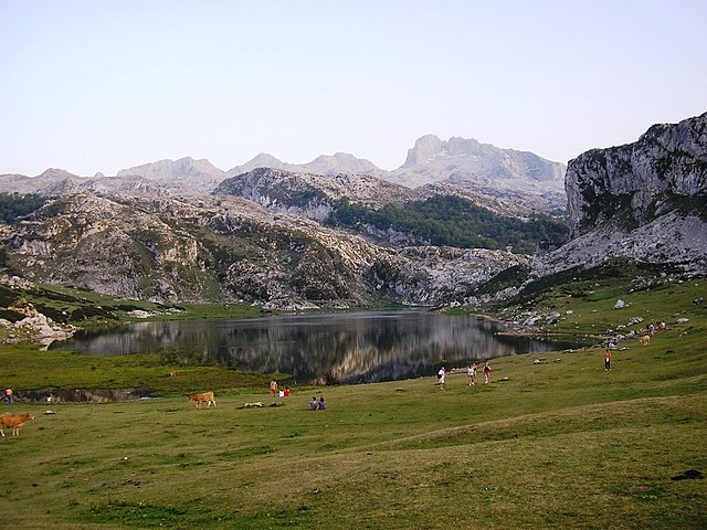
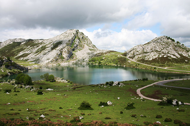 Lago Enol.
-
 Estatua de Don Pelayo, Covadonga.
-
 Iglesia de Oseja de Sajambre.
-

-
-
-

-

-

-
-

-

-

-

-

-

-

-

-

-

-

-

-

-

-

-

-

-

-

-


Comments
-
The public car cannot go to the peak of the mountain, but only cable car. The cable car station is at Teleferico Fuente Dé. We bought the tickets from the website. It is better to reserve the tickets from the website, as they control the number of tourist each hour. 18€ for adults, 7€ for kids under 12 years old. We reserved the tickets for 4pm, it seems not to be park timing during a day, not so many people on the top. We spent 40 minutes on the top. If just taking photos and looking around, I think it is enough. This is a must-see scenic spot. Strongly recommend
4 days ago -
Nice place, good for family, bus and taxi available. Friendly staff Not public toilet available
3 days ago -
Could only go half way as the road was closed off. Great views, seeing the scenery and the cows. Shame we couldn't go all the way to the top. The price of the teleferico expensive 18 euros per person. For a family of 4 I found expensive.
a month ago -
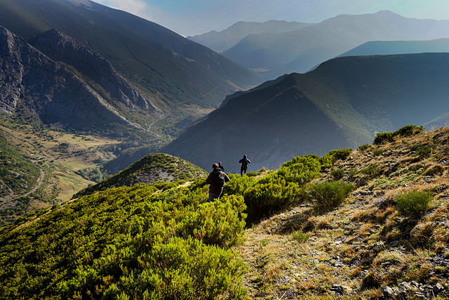
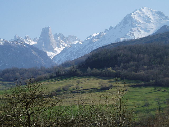
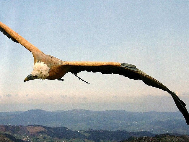
Different foldings and glaciations have shaped a tortuous landscape modelled by ice and the effect of the waters on the limestone, forming a grandiose mountain karst. The monumentality of the landscape and the diversity of its vegetation are only comparable to the treasure trove of fauna it contains: brown bear, capercaillie, chamois, Iberian wolf,... are a good example of the mixture of species of Central European origin and other more southerly species that come into contact in this area. The Ring of Peaks is a high mountain circular route that links the three massifs of the national park, in a fabulous trekking that jumps from refuge to refuge during 10 days. Surely, one of the best mountaineering experiences in Picos de Europa.
3 months ago -
Astonishing nature, good weather. Very neat hikes around. Cable car too expensive imo
2 weeks ago -
Absolutely a must see in north of Spain. I suggest to do some Hiking from the Lagos de Covadonga.
a year ago -
Lovely place, incredible for hiking, trekking or just sightseeing in any of this mountain's villages. Great restaurants and easy to arrive by car or bus from main city's of this region. Best time to climb mountain's August to October. Best time to walk with racquets March to April. Nice refuges in the bottom of the main mountain's. Easy to enjoy there with wild sports GPS is helpful there
2 years ago -