


Source:
Wikipedia
Nationaal Park Koerse Schoorwal (Rusland) (Куршская коса (национальный парк, Россия))
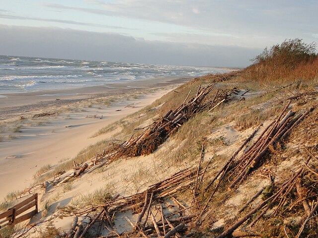
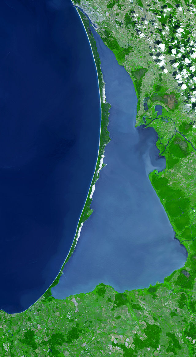
Nationaal Park Koerse Schoorwal (Russisch: Национальный парк Куршская коса) omvat het deel van de Koerse Schoorwal gelegen in de Russische Oblast Kaliningrad. De oprichting tot nationaal park vond plaats op 6 november 1987 per decreet (№ 423/1987) van de regering van de Russische SFSR. In 2000 werd de gehele Koerse Schoorwal, inclusief het gedeelte in Litouwen, toegevoegd aan de UNESCO-Werelderfgoedlijst. Nationaal Park Koerse Schoorwal heeft een oppervlakte van 66,21 km² en heeft een breedte tussen de 350 en 4.000 m.
- 1 Kenmerken
- 2 Doelstellingen
- 3 Fauna
- 4 Afbeeldingen
- 5 Externe link
- 6 Bronnen
Links
Images Gallery


Comments
Share your experience with others and write the first comment about the location
Source:
Wikipedia
Nationaal Park Koerse Schoorwal (Rusland)
➴ Coordinates:
55° 9‘ N, 20° 50‘ E
Tags
Amenities
Weather
16. Dezember 2025
N/A °
N/A
N/A
N/A
Wind
N/A k/h
Humidity
N/A
Visibility
N/A km