


Source:
Wikipedia
Curonian Spit National Park (Russia) (Куршская коса (национальный парк, Россия))
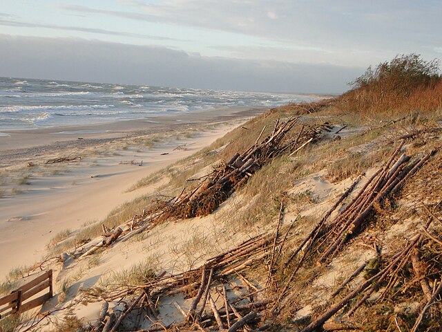
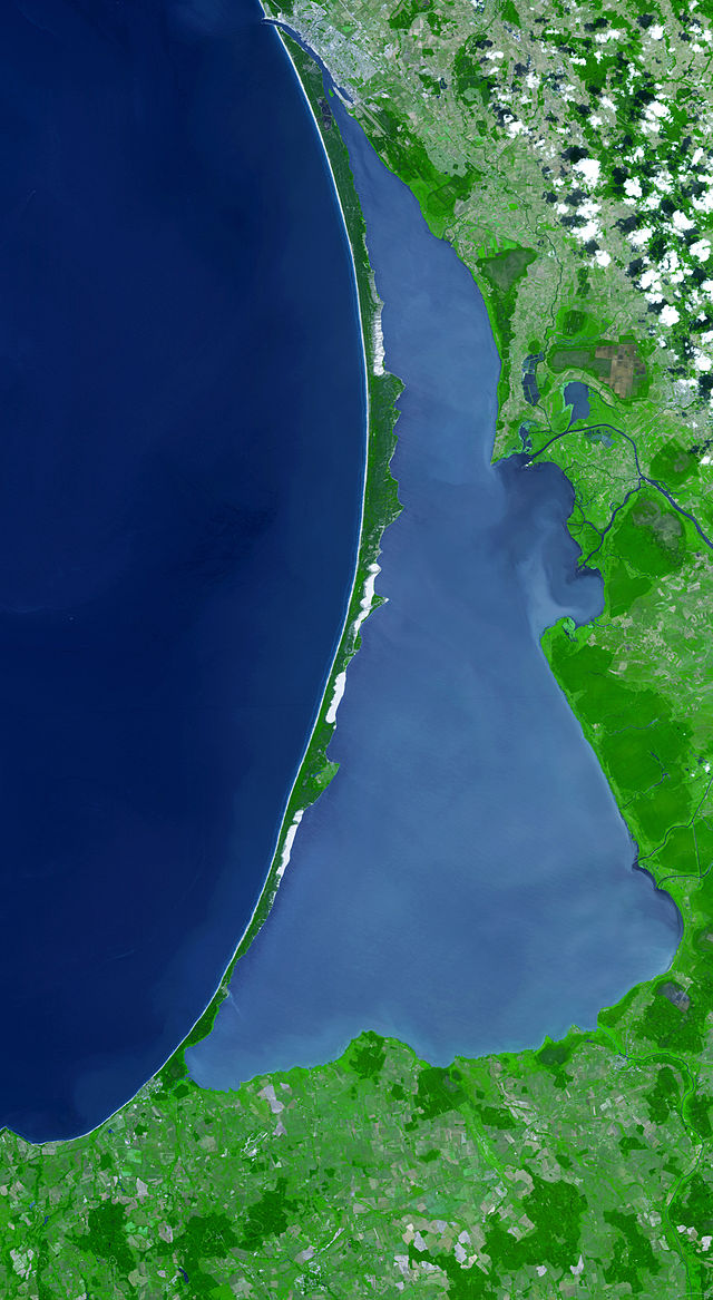
Curonian Spit National Park (Russian: Куршская коса) (Also: Kurshskaya Kosa) covers the Russian-owned southern 41 km of the 98 km long, curved Curonian Spit – a type of depositional sandbar. The spit separates the salt-water Baltic Sea (on the west) from the freshwater Curonian Lagoon to the east. The southern portion of the spit lies within Zelenogradsky District in Kaliningrad Oblast, Russia; the northern portion lies within southwestern Lithuania. It is a UNESCO World Heritage Site shared by the two countries.
Links
Images Gallery


Comments
Share your experience with others and write the first comment about the location
Source:
Wikipedia
Curonian Spit National Park (Russia)
➴ Coordinates:
55° 9‘ N, 20° 50‘ E
Tags
Amenities
Weather
17. Dezember 2025
N/A °
N/A
N/A
N/A
Wind
N/A k/h
Humidity
N/A
Visibility
N/A km