


Schleswig-Holstein Wadden Sea National Park (Nationalpark Schleswig-Holsteinisches Wattenmeer)
The Schleswig-Holstein Wadden Sea National Park (German: Nationalpark Schleswig-Holsteinisches Wattenmeer) is a national park in the Schleswig-Holstein area of the German Wadden Sea. It was founded by the Parliament of Schleswig-Holstein on 1 October 1985 by the National Park Act of 22 July 1985 and expanded significantly in 1999. Together with the Lower Saxon Wadden Sea National Park, the Hamburg Wadden Sea National Park and those parts of Elbe estuary which are not nature reserves, it forms the German part of the Wadden Sea.
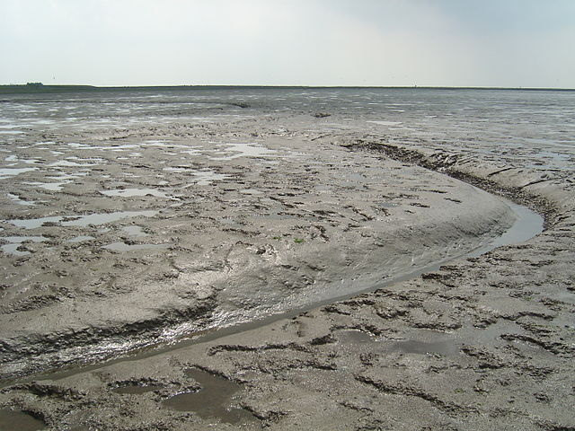
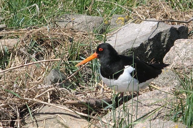
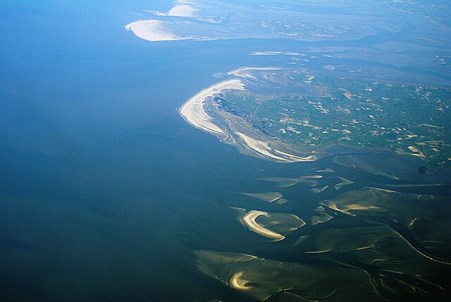
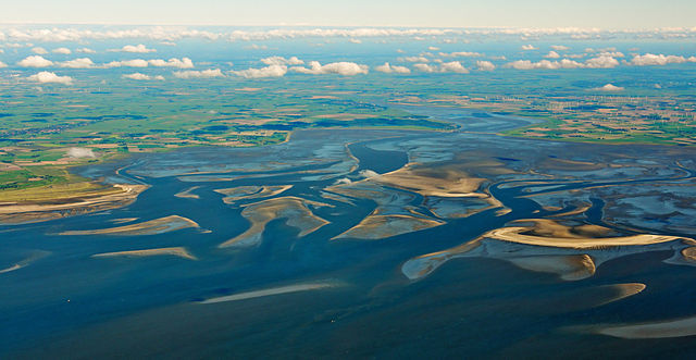
The national park extends from the German-Danish maritime border in the north down to the Elbe estuary in the south. In the North Frisian area, it includes the mudflats around the geest-based and marsh islands and the Halligen (undyked islands). There, the mudflats are 40 km wide in places. Further south lie areas of mudflats which contain particularly large sandbanks. In addition to the plants and animals that are typical of the entire Wadden Sea, especially large numbers of porpoise, shelduck and eelgrass may be seen in the Schleswig-Holstein part.
With an area of 4410 km ² it is by far the largest national park in Germany. Some 68% of its area is permanently under water and 30% is periodically dry. The land element consists mainly of salt marshes. Since 1990, the national park, including the North Frisian Halligen, has been designated as a UNESCO recognised biosphere. Together with other German and Dutch Wadden Sea areas it became a UNESCO World Heritage Site on 26 June 2009.
- 1 Geography
- 2 Flora and fauna
- 3 The National Park
-
4
Human utilisation of the National Park
- 4.1 Approval of the Wadden Sea National Park by locals and tourists
- 4.2 Coastal defence
- 4.3 Tourism
-
4.4
Fishery, hunting and agriculture
- 4.4.1 Shrimp fishery
- 4.4.2 Mussel fishery
- 4.4.3 Aquaculture and hunting
- 4.4.4 Agriculture
- 4.5 Transport and infrastructure
- 4.6 Oil, offshore wind power and sand
- 4.7 Military
- 5 See also
- 6 Literature
- 7 Filmography
- 8 External links
- 9 References
Links
Images Gallery
-

-

-
 Map of the national park with designated protected zones
-

-

-

-
 barnacles
-

-

-

-

-
 barnacle geese
-
 Arctic tern
-
 redshank
-
 Sylt-Nord and Morsum-Kliff are the oldest conservation areas in Schleswig-Holstein. They have existed since 1923.
-
 Old signs of protest against the National Park
-
 Environmentalists tried to establish a conservation zone in the Wadden Sea east of Keitum/Sylt, but without success
-
 Amongst others the second National Park law established a whale sanctuary for the protection of the common porpoise
-
 A part of the National Park administration's work is to inform the public
-
 Two people are living on the Hallig Südfall during summer. Only five people are living inside the National Park, but the bordering communities contain 290.000 inhabitants. Additionally there are about 15 million tourists visiting the National Park every year.
-
 During a mudflat hiking tour visitors can discover the National Park
-
 Mudflat excursion around Langeness with the Wadden Sea Conservation Station
-
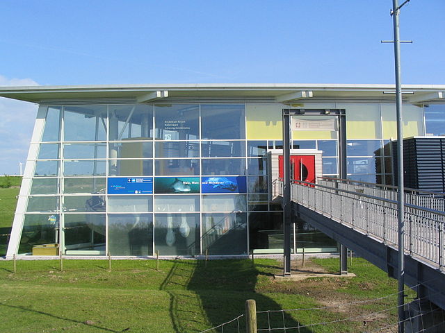 Multimar Wattforum is the most important information center of the National Park with about 200.000 visitors per year
-
 The National Park Partner Programme was initiated of the National Park Administration in 2003
-
-
 Especially barnacle geese are held responsible for feeding damages in the surrounding areas of the farmer's fields
-
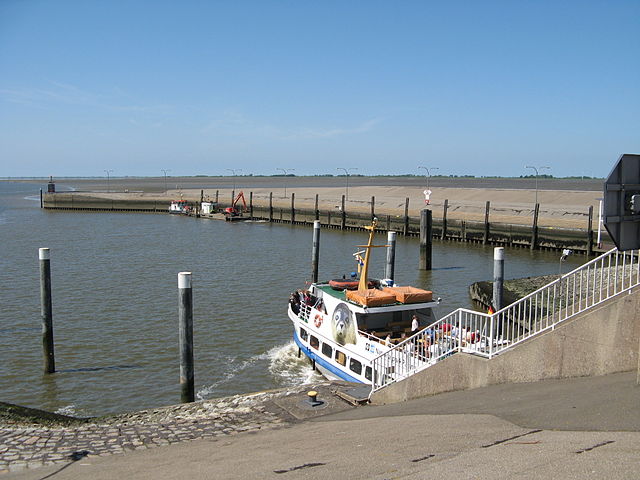 Nearly all of the offered shipping traffic in the National Park is for tourists. A lot of shipping companies cooperate with the National Park administration
-
 Adler-Express is a fast ferry to the islands. It isn´t certified as National Park Partner. Due to its high velocities sea mammals are endangered to have too little time to escape.
-
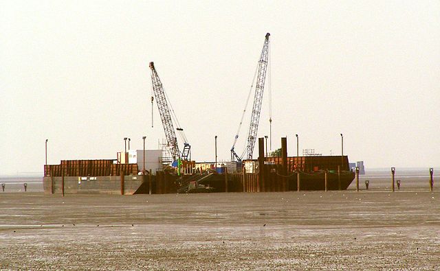 Construction of the pipeline to connect Mittelplate A and land
-

-
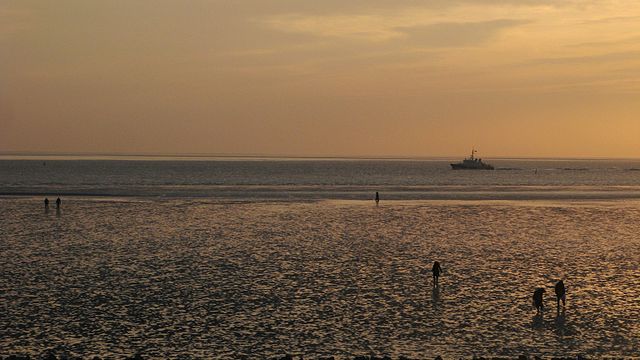
 Sunset in the Wadden Sea
-
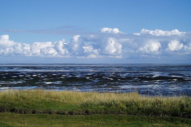
 Rockworm piles in the Wadden Sea
-
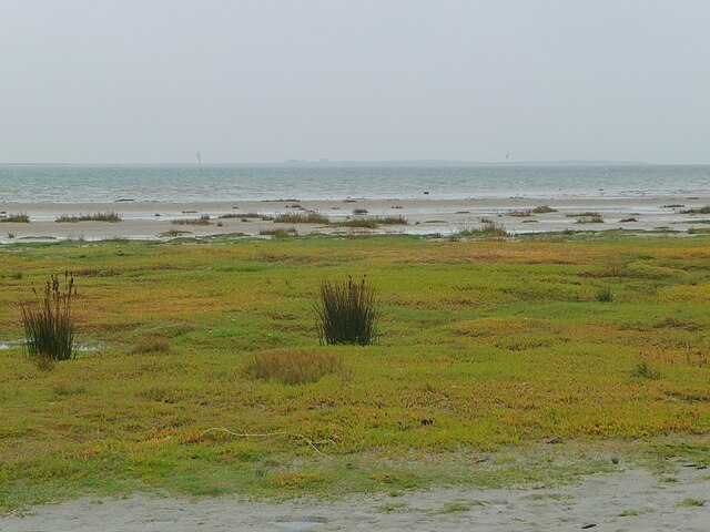
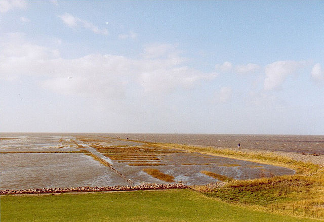
 Salt marshes make up the biggest part of the National Park's vegetation
-
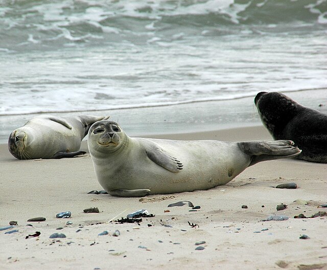
 Seals use the Wadden Sea as resting and breeding place.
-
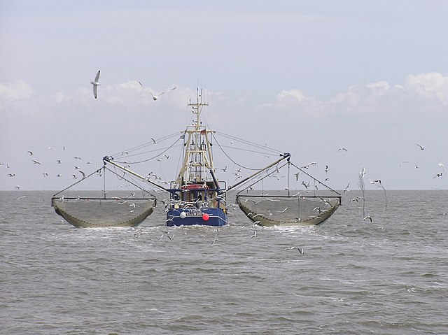
 Traditional shrimp boats
-

-

-

-

-

-

-

-

-
-

-

-

-
-

-

-

-


Comments
Share your experience with others and write the first comment about the location