 represent new won land. Regaining of losses mostly is marked only by the dikes.→ This map for reading: • 33 % (216 dpi), • 50 % (144 dpi)")


Source:
Wikipedia
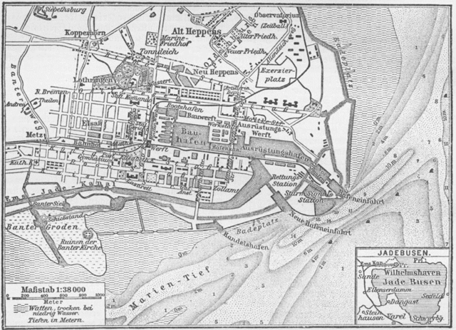
Jade Bight (Jadebusen)
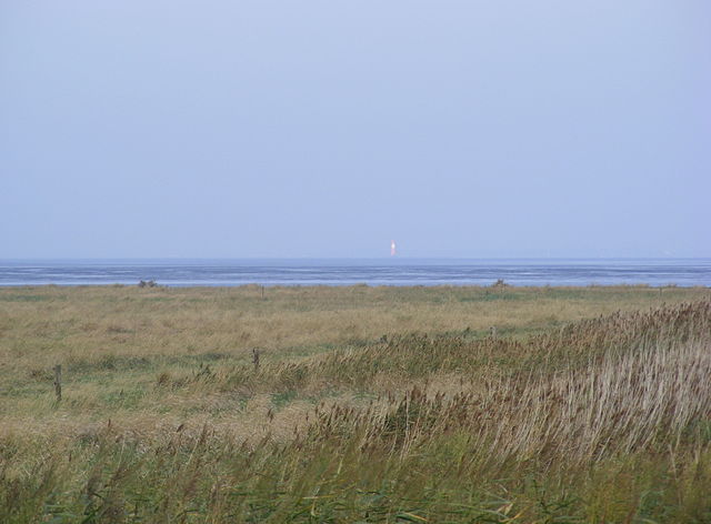
The Jade Bight (or Jade Bay; German: Jadebusen) is a bight or bay on the North Sea coast of Germany. It was formerly known simply as Jade or Jahde. Because of the very low input of freshwater, it is classified as a bay rather than an estuary.
Links
Images Gallery
-

-
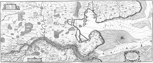
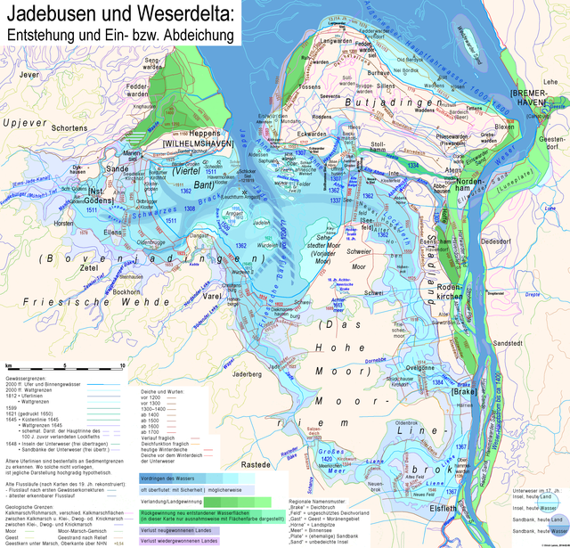 Development of the Jade Bight and the interim Weser delta:• blue areas = advancement of waterbodies• green areas = growth of land• grayish pale blue areas = sometimes flooded• grayish lilac areas = newly gained land lost again• grayish pink areas = regained land lost again• brown to red lines = dikes• bold intensive light blue line = today's coastline• light blue lines = today's limit of mudflats• bold pale blue lines = limit of mudflats c. 1810• dirty lilac lines = limit of mudflats c. 1645• light pink to light lilac, ocre and light green lines = geological soil borders.Greenish coloured areas (except the few bluish green ones) represent new won land. Regaining of losses mostly is marked only by the dikes.→ This map for reading: • 33 % (216 dpi), • 50 % (144 dpi)
-

-

-

-

-

-

-

-

-

-

-

-

-

-

-

-

-

-

-
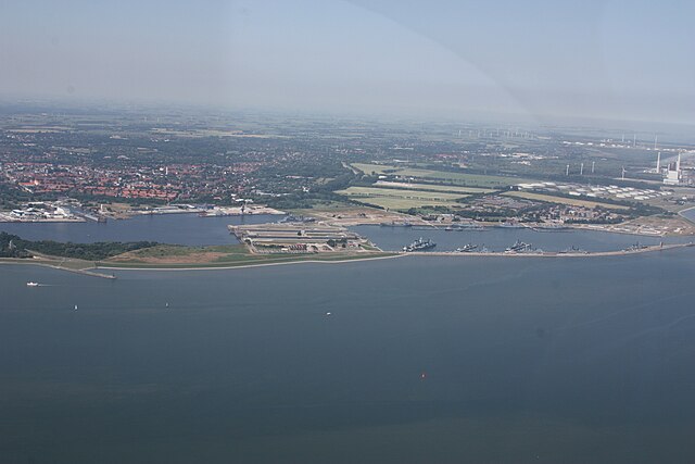
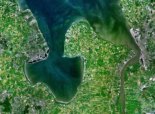 Jadebusen and river Weser estuary
-

-

-

-


Comments
Share your experience with others and write the first comment about the location
Source:
Wikipedia
Jade Bight
➴ Coordinates:
53° 28‘ N, 8° 13‘ E
Weather
14. Dezember 2025
N/A °
N/A
N/A
N/A
Wind
N/A k/h
Humidity
N/A
Visibility
N/A km