
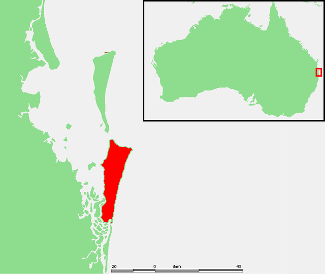


North Stradbroke Island
North Stradbroke Island (Jandai: Minjerribah), colloquially Straddie or North Straddie, is an island that lies within Moreton Bay in the Australian state of Queensland, 30 kilometres (19 mi) southeast of the centre of Brisbane. Originally there was only one Stradbroke Island but in 1896 it split into North Stradbroke Island and South Stradbroke Island separated by the Jumpinpin Channel. The Quandamooka people are the traditional owners of North Stradbroke island.The island is divided into four localities: Dunwich, Amity and Point Lookout are small localities centred on the towns of the same name, while the remainder of the island is in the locality of North Stradbroke Island. All the localities are within the City of Redland.
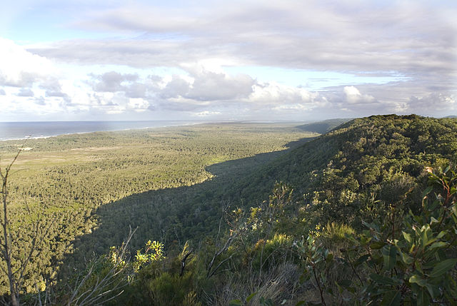
At 275.2 square kilometres (106.3 sq mi; 68,000 acres), it is the second largest sand island in the world. On the island there are three small towns, a number of lakes and beaches along most of the seaward coastline with rocky outcrops at Point Lookout. An Aboriginal presence on the island has been long and ongoing, resulting in a successful native title determination. Tourism is a major and growing industry on the island. The island has been the site for sand mining for more than sixty years. Tourism and currently mining are the island's main industries.
-
1
Geography and ecology
- 1.1 Beaches
-
1.2
Lakes, springs and wetlands
- 1.2.1 Blue Lake
- 1.2.2 Brown Lake
- 1.2.3 Eighteen Mile Swamp
- 1.2.4 Myora Springs and Myora Creek Swamp
- 1.2.5 Lake Kounpee
- 1.2.6 Other lakes and wetlands
- 2 Fauna
- 3 Flora
- 4 History
- 5 Indigenous inhabitants
- 6 Sand mining
- 7 Community fund
- 8 Arts, culture and tourism
- 9 See also
- 10 References
- 11 External links
Links
Images Gallery
-

-

-

-

-
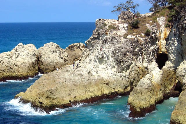 Eastern wall of the North Gorge, as seen from the Gorge Walk at Point Lookout.
-
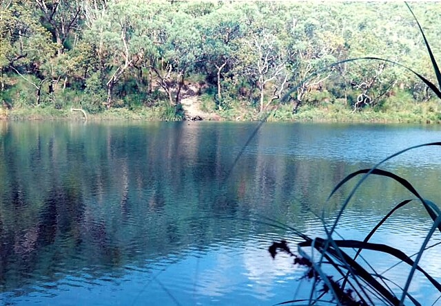 Blue Lake
-
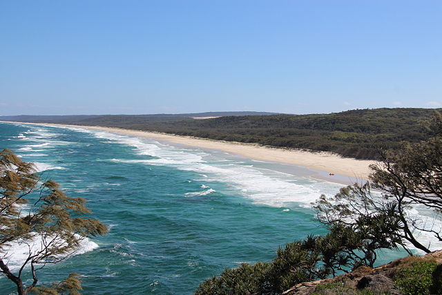 View south from Point Lookout of Main Beach, 2014
-
 View of the wetland from the high dune escarpment
-
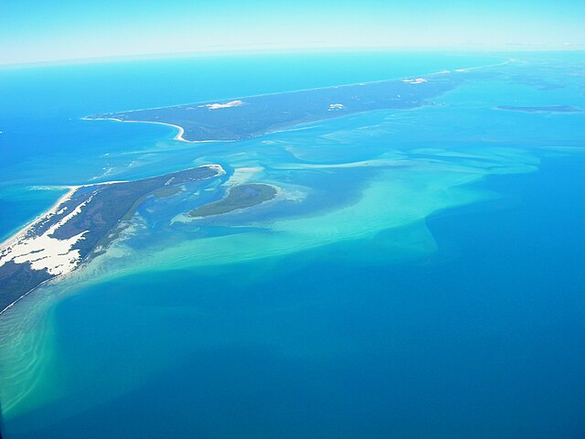
 Aerial view of the Eighteen Mile Swamp and the Enterprise sand mine operating close by
-
 View of the Sibelco-owned Yarraman mine site.
-
 Wallum sedgefrog is a 'vulnerable' species living on Straddie
-
 The Sibelco-owned Enterprise MIne overlaid onto a map of Brisbane suburbs, to illustrate the area of the sand mining.
-
 Sibelco-owned Enterprise mine dredging path and buffer zones to 18 Mile Swamp, Ramsar listed, and now Naree Budjong Djara National Park
-

-

-

Comments
Share your experience with others and write the first comment about the location