


Source:
Wikipedia
North Stradbroke-eiland (North Stradbroke Island)
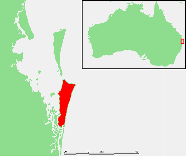
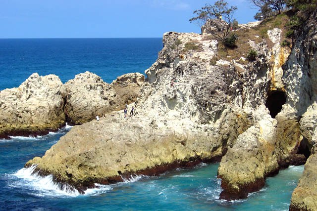
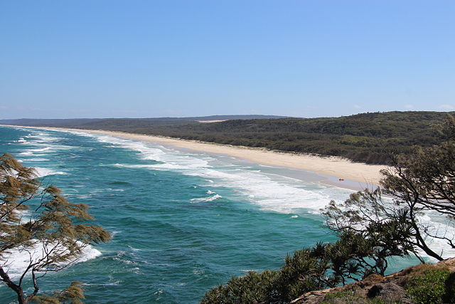
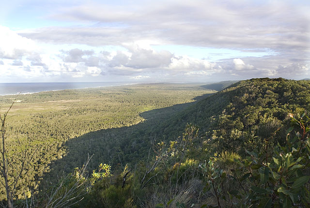
North Stradbroke-eiland (Engels: North Stradbroke Island) is een eiland in het oosten van Moreton Bay in zuidoost Queensland, Australië. Het eiland is 38 km lang en 11 km breed. Er zijn drie nederzettingen op het eiland, waarvan Dunwich de grootste is. Point Lookout, gelegen aan de oceaankant van het eiland met mooie zandstranden, is de grootste toeristentrekpleister. Het kleine Amity Point aan de meest noordelijke punt van het eiland is populair bij sportvissers.
Een veerdienst zorgt voor een regelmatige verbinding tussen Cleveland op het vasteland en Dunwich aan de baaizijde van het eiland.
Ten zuiden van het eiland ligt South Stradbroke-eiland.
Links
Images Gallery
-

-

-

-

-

-

-

-

-

-

-

-

-

-
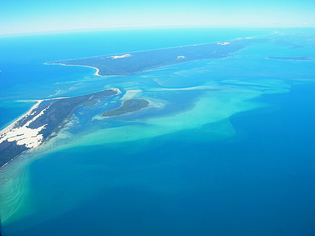
 Satellietfoto van North Stradbroke Island.
-

-

Comments
Share your experience with others and write the first comment about the location
Source:
Wikipedia
North Stradbroke-eiland
➴ Coordinates:
27° 31‘ S, 153° 27‘ E
Tags
Weather
14. Dezember 2025
N/A °
N/A
N/A
N/A
Wind
N/A k/h
Humidity
N/A
Visibility
N/A km