


Source:
Wikipedia
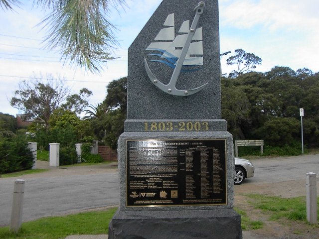
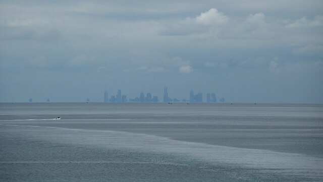
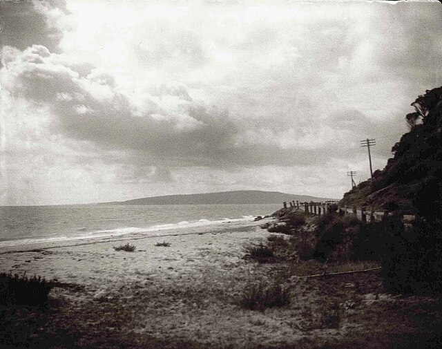
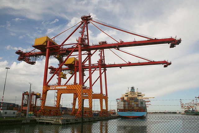
Port Phillip
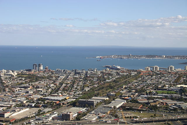
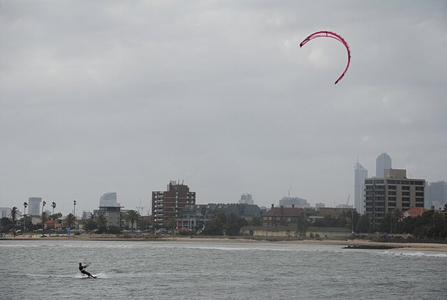
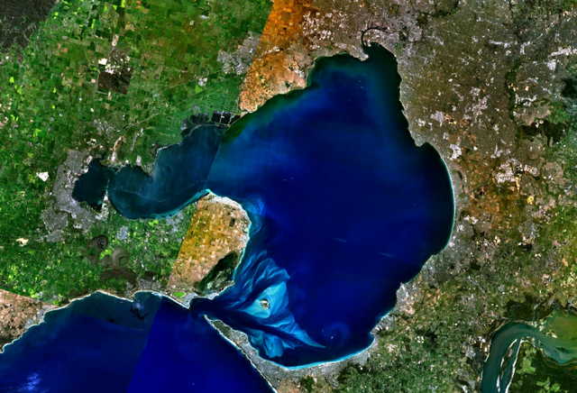
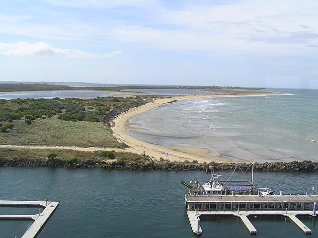
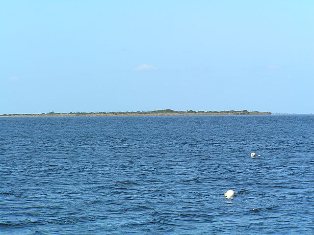
Port Phillip is een baai bij de Australische stad Melbourne. De baai heeft een oppervlakte van 1930 km² en een kustlijn van 264 km. Het diepste gedeelte is slechts 24 meter diep; de helft van de baai is zelfs minder dan 8 meter diep.
Wateraanvoer is afkomstig van de Yarra River, Patterson River, Werribee River, Little River, Kororoit Creek. De baai mondt uit in Straat Bass.
Links
Images Gallery
-

-
 Locatie
-

-

-

-

-

-

-

-

-

-

-

-

-

-

-

-

-

-

-
-
-

-
-
-
-


Comments
Share your experience with others and write the first comment about the location
Source:
Wikipedia
Port Phillip
➴ Coordinates:
38° 10‘ S, 144° 52‘ E
Tags
Weather
28. September 2025
N/A °
N/A
N/A
N/A
Wind
N/A k/h
Humidity
N/A
Visibility
N/A km