


Source:
Wikipedia
Omaha Beach
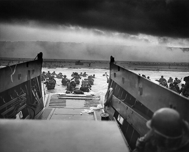
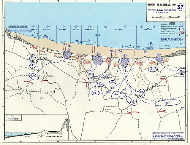
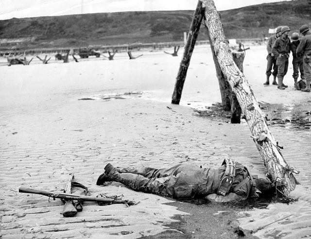
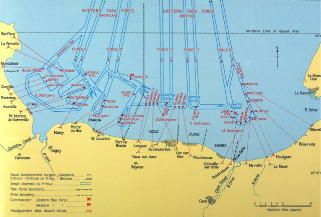
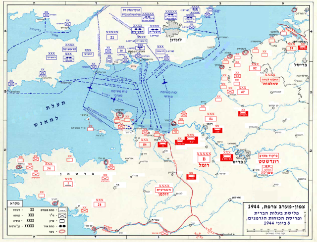
Omaha Beach was de geallieerde codenaam en thans ook de lokale naam voor een van de vijf (Utah, Omaha, Gold, Juno en Sword) landingszones voor de Landing in Normandië op 6 juni 1944. Het strand is ongeveer vijf kilometer lang, van Sainte-Honorine tot Vierville-sur-Mer.
Links
Images Gallery
-
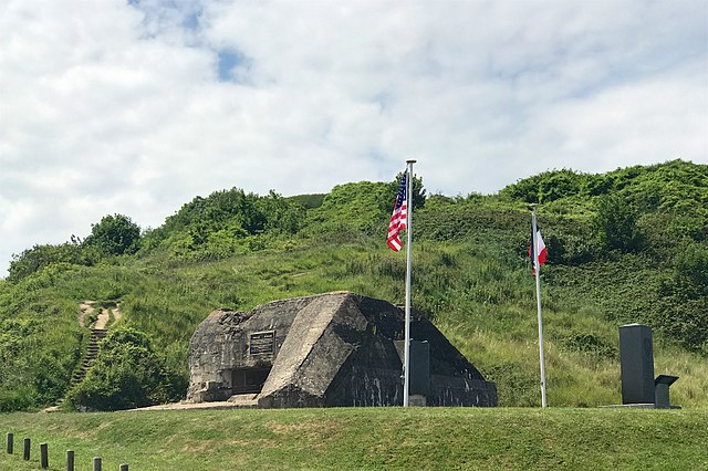
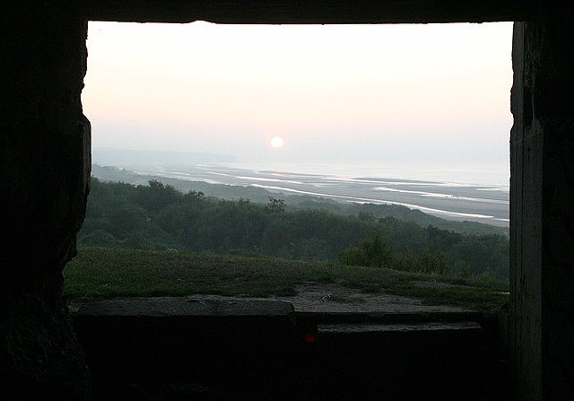
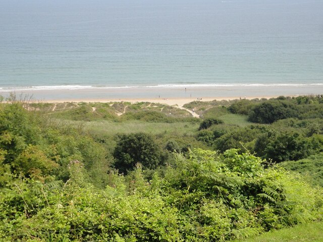
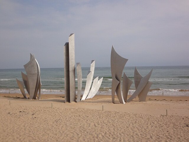
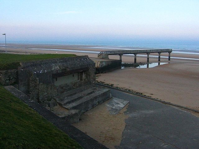
 Omaha Beach in 2011
-

-

-

-

-

-

-

-

-

-

-

-

-

-

-

-

-

-

-

-

-

-

-

-

-

-
-

-

-

-

-
-

-
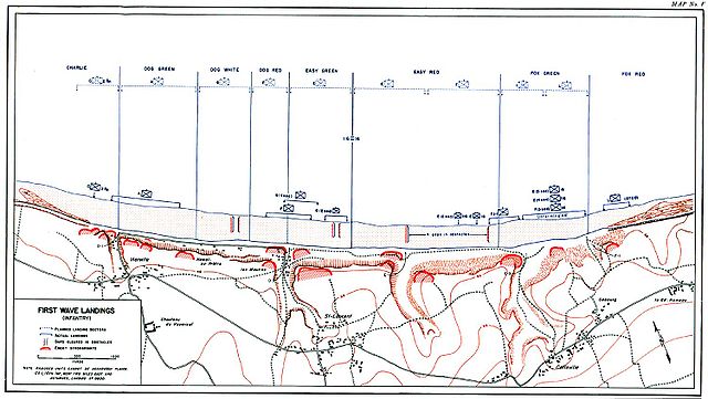
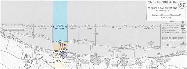
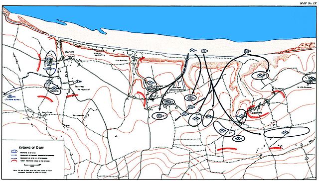
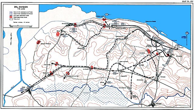
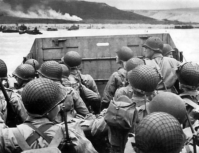
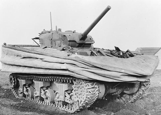
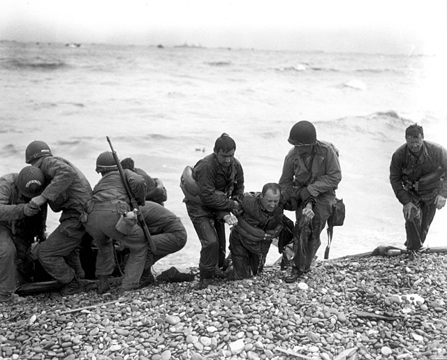
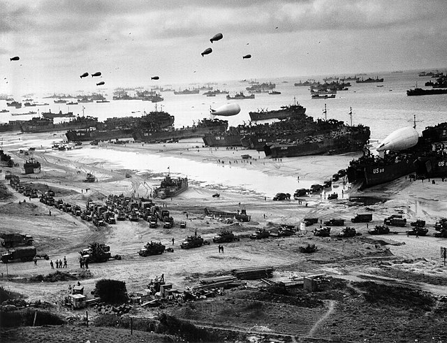
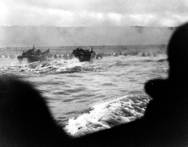
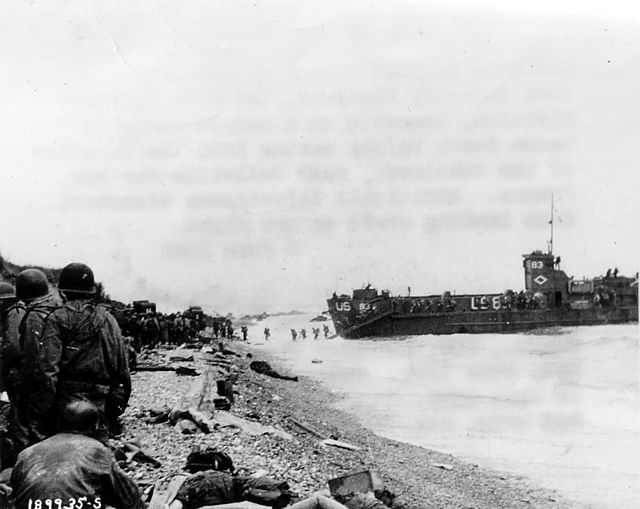
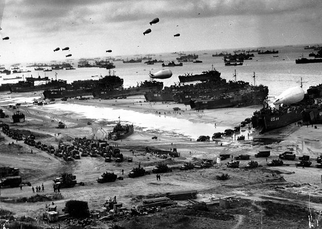 Omaha Beach in juni 1944
-
-
-

-

-

-

-
-
-

-

-
-

-
-
-

-

-

-

-

-
-

-

-

-
-

-

-

-

-
-

-


Comments
Share your experience with others and write the first comment about the location
Source:
Wikipedia
Omaha Beach
➴ Coordinates:
49° 22‘ N, 0° 52‘ E
Tags
Weather
30. Dezember 2025
N/A °
N/A
N/A
N/A
Wind
N/A k/h
Humidity
N/A
Visibility
N/A km